Urbex & Abandoned
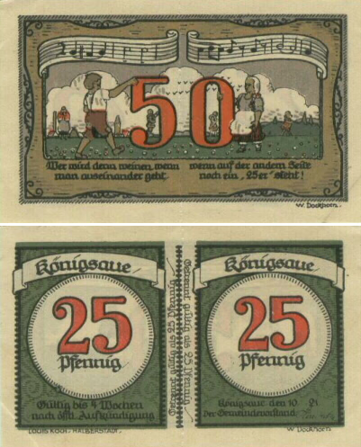
Königsaue
Salzlandkreis, Germany
The town of Königsaue in the district Aschersleben-Staßfurt, Saxony-Anhalt, Germany was destroyed in the course of opencast lignite mining in 1964. The inhabitants were resettled to the town of Neu-Königsaue, ca. 1 km north of the former location.
- Category
- Urbex & Abandoned
- Location
- Salzlandkreis, Germany
- Coordinates
- 51.82170, 11.39890
- How to get there
- Google MapsApple MapsOpenStreetMap
- Wikidata
- Q1681197
What is Königsaue?
Königsaue is a Urbex & Abandoned place on VeroMaps. Other places close by: Blaue Gans, Gatersleben Castle, Domburg im Hakel, Burg Aschersleben.
Where is Königsaue?
Königsaue is in Salzlandkreis, Germany. Coordinates: 51.82170, 11.39890.
How do I get to Königsaue?
Königsaue is at Salzlandkreis, Germany (51.82170, 11.39890). Enter these coordinates in Google Maps, Apple Maps or OpenStreetMap for walking, cycling or driving directions.