Forgotten History
Klusenstein Castle
Balve, Germany
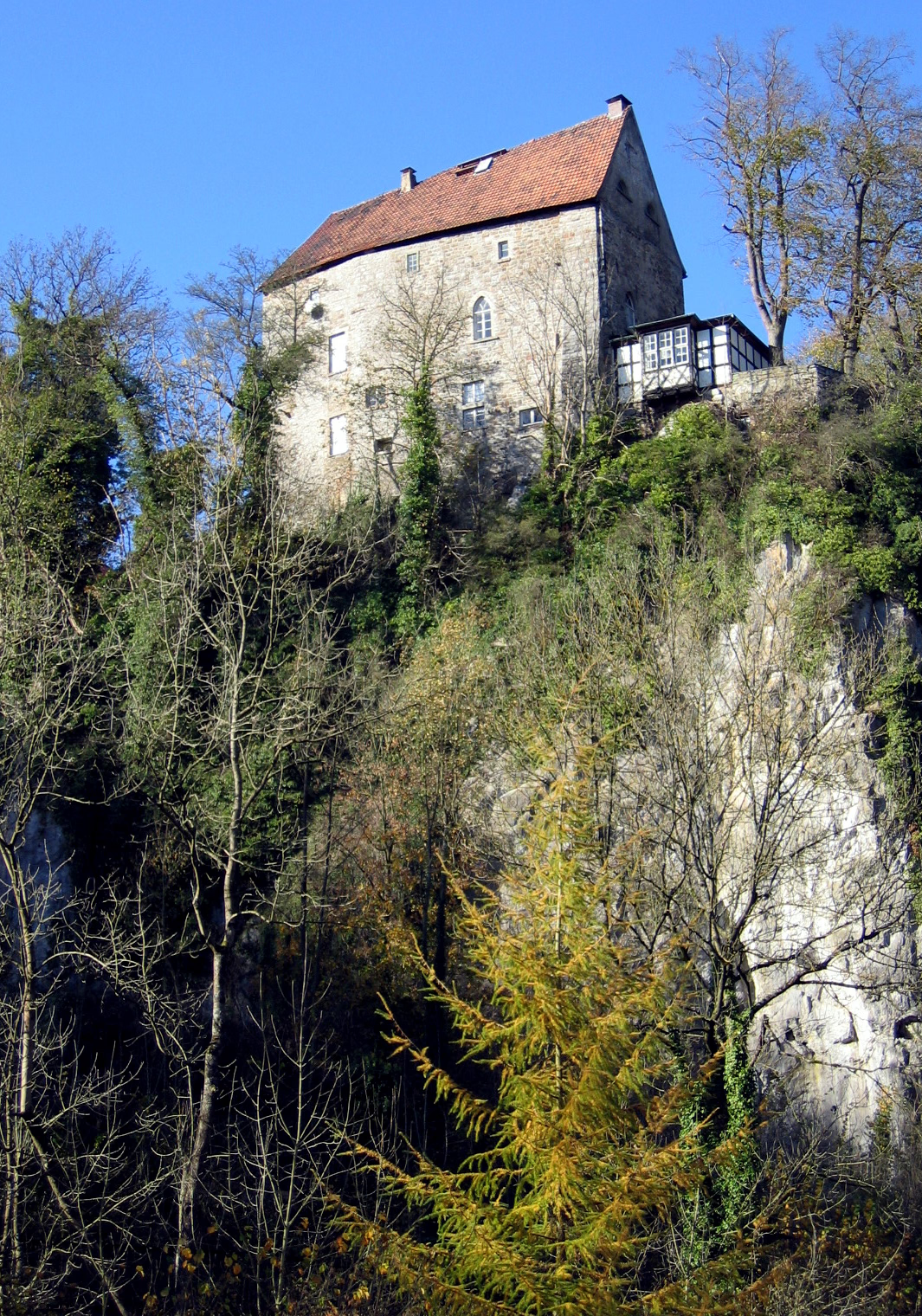
Klusenstein is a castle in Hemer, Germany, located on a 60m high cliff above the valley of the Hönne river. The castle was built in 1353 as a boundary fortification of the earldom Mark.
- Category
- Forgotten History
- Location
- Balve, Germany
- Coordinates
- 51.38100, 7.85075
- How to get there
- Google MapsApple MapsOpenStreetMap
- Wikidata
- Q977837
What is Klusenstein Castle?
Klusenstein Castle is a Forgotten History place on VeroMaps. Other places close by: Feldhofhöhle, Tunnelhöhle, Leichenhöhle, Steinbruch Asbeck.
Where is Klusenstein Castle?
Klusenstein Castle is in Balve, Germany. Coordinates: 51.38100, 7.85075.
How do I get to Klusenstein Castle?
Klusenstein Castle is at Balve, Germany (51.38100, 7.85075). Enter these coordinates in Google Maps, Apple Maps or OpenStreetMap for walking, cycling or driving directions.