Local Legends
Kintraw
Lochgilphead, United Kingdom
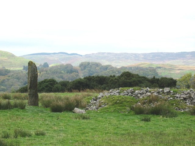
Kintraw ist ein multipler Fundplatz vorzeitlicher Monumente am Nordrand des Kilmartin-Valley in Argyll and Bute im Westen von Schottland. Er liegt neben der A816 auf einer Terrasse an der Mündung des Kintraw Burn, etwa 200 m südöstlich der Kintraw Farm, in Sichtweite der Meeresbucht Loch Craignish.
- Category
- Local Legends
- Location
- Lochgilphead, United Kingdom
- Coordinates
- 56.18782, -5.49790
- How to get there
- Google MapsApple MapsOpenStreetMap
- Wikidata
- Q1263892
What is Kintraw?
Kintraw is a Local Legends place on VeroMaps. Other places close by: Carnasserie Castle, Duntrune Castle, Dunadd, Clachan Bridge.
Where is Kintraw?
Kintraw is in Lochgilphead, United Kingdom. Coordinates: 56.18782, -5.49790.
How do I get to Kintraw?
Kintraw is at Lochgilphead, United Kingdom (56.18782, -5.49790). Enter these coordinates in Google Maps, Apple Maps or OpenStreetMap for walking, cycling or driving directions.