Local Legends
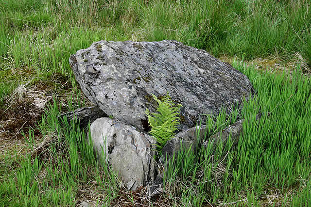
King Shaw’s Grave
Langholm, United Kingdom
Die 1828 entdeckte Steinkiste King Shaw’s Grave (auch Bank Head Hill, King Schaw’s Grave oder King Schaw’s Cist genannt) liegt auf einer leichten Erhöhung in der aufgeforsteten, ebenen Moorlandschaft des Airswood Moss, südlich von Eskdalemuir und nördlich von Lockerbie im Osten von Dumfries and Galloway in Schottland.
- Category
- Local Legends
- Location
- Langholm, United Kingdom
- Coordinates
- 55.22748, -3.16597
- How to get there
- Google MapsApple MapsOpenStreetMap
- Wikidata
- Q51075842
What is King Shaw’s Grave?
King Shaw’s Grave is a Local Legends place on VeroMaps. Other places close by: Cornal Tower, Old Brig Inn, Beattock, Lochmaben Castle, Hermitage Castle.
Where is King Shaw’s Grave?
King Shaw’s Grave is in Langholm, United Kingdom. Coordinates: 55.22748, -3.16597.
How do I get to King Shaw’s Grave?
King Shaw’s Grave is at Langholm, United Kingdom (55.22748, -3.16597). Enter these coordinates in Google Maps, Apple Maps or OpenStreetMap for walking, cycling or driving directions.