Urbex & Abandoned
King Philip Mills
Massachusetts, United States
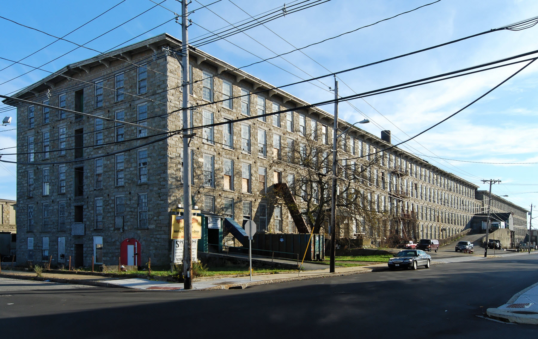
King Philip Mills is an historic cotton mill complex located at 372 Kilburn Street in Fall River, Massachusetts. Developed between 1871 and 1892, it was historically one of the city's largest mills, and its building inventory is still largely complete. The complex was added to the National Register of Historic Places in 1983.
- Category
- Urbex & Abandoned
- Location
- Massachusetts, United States
- Coordinates
- 41.68194, -71.17250
- How to get there
- Google MapsApple MapsOpenStreetMap
- Wikidata
- Q6411943
What is King Philip Mills?
King Philip Mills is a Urbex & Abandoned place on VeroMaps. Other places close by: Globe Yarn Mills, Bourne Mill, Chace Mills, American Printing Co. and Metacomet Mill.
Where is King Philip Mills?
King Philip Mills is in Massachusetts, United States. Coordinates: 41.68194, -71.17250.
How do I get to King Philip Mills?
King Philip Mills is at Massachusetts, United States (41.68194, -71.17250). Enter these coordinates in Google Maps, Apple Maps or OpenStreetMap for walking, cycling or driving directions.