Photo corners
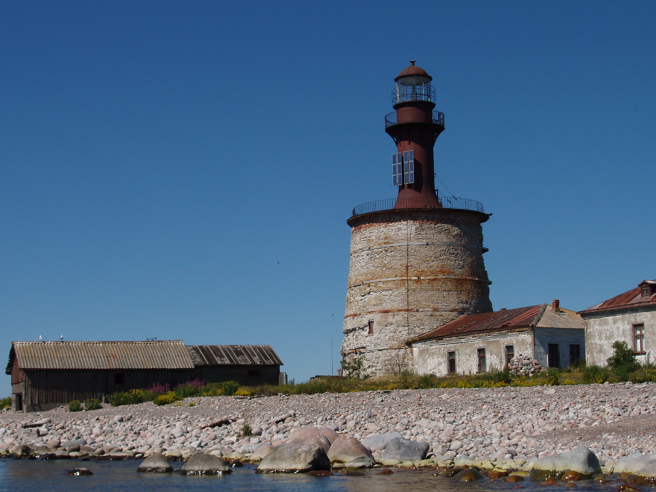
Keri Lighthouse
Viimsi Rural Municipality, Estonia
Keri lighthouse (Estonian: Keri tuletorn) is a lighthouse in Estonia, located on the Keri (Kockskär) island in the Gulf of Finland of the Baltic Sea. The light is at an elevation of 31 metres (102 ft) above sea level, while the lighthouse is 28 metres (92 ft) tall.
- Category
- Photo Spots
- Location
- Viimsi Rural Municipality, Estonia
- Coordinates
- 59.69871, 25.02274
- How to get there
- Google MapsApple MapsOpenStreetMap
- Wikidata
- Q2984041
What is Keri Lighthouse?
Keri Lighthouse is a Photo Spots place on VeroMaps. Other places close by: Juminda Lighthouse, Tallinn front lighthouse, Kohvik Moon, Tallinn rear lighthouse.
Where is Keri Lighthouse?
Keri Lighthouse is in Viimsi Rural Municipality, Estonia. Coordinates: 59.69871, 25.02274.
How do I get to Keri Lighthouse?
Keri Lighthouse is at Viimsi Rural Municipality, Estonia (59.69871, 25.02274). Enter these coordinates in Google Maps, Apple Maps or OpenStreetMap for walking, cycling or driving directions.