Forgotten History
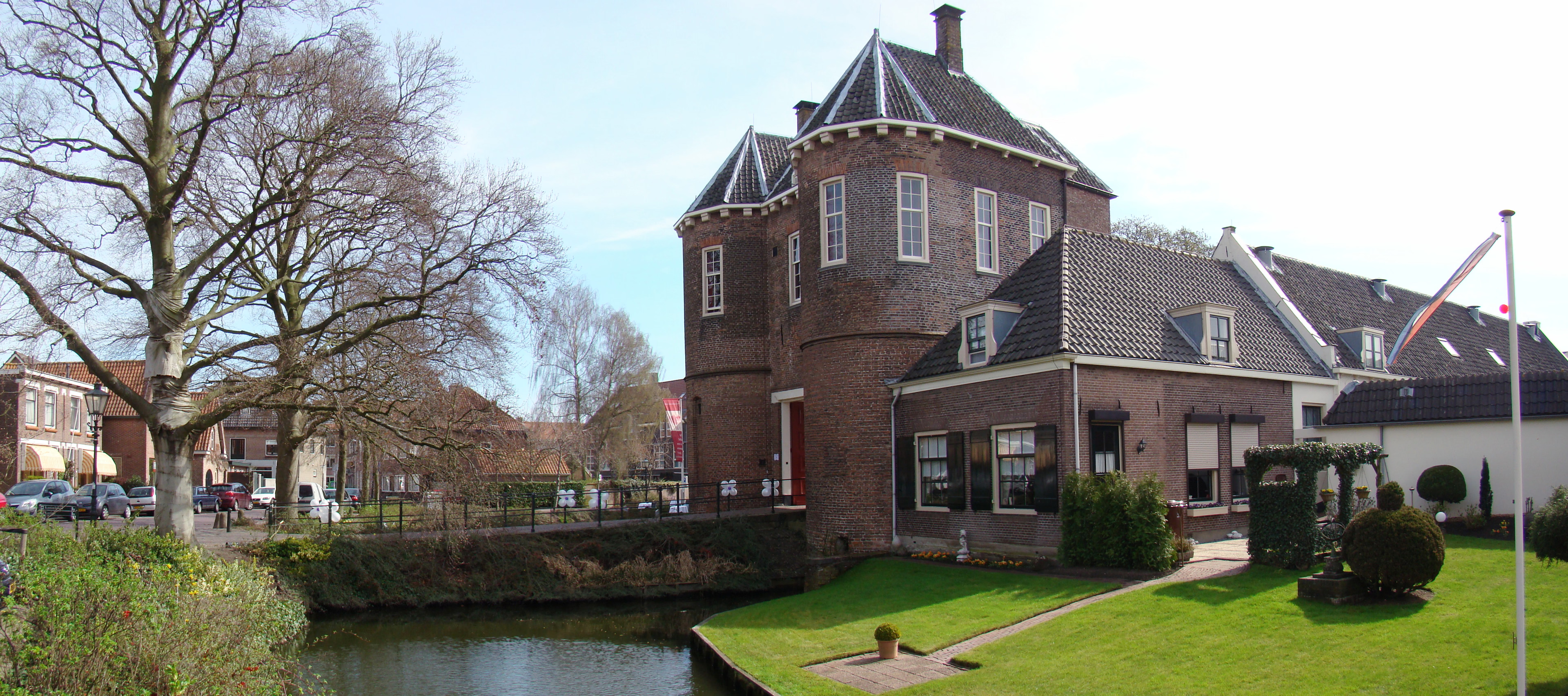
Kasteel Montfoort
Woerden, Netherlands
Montfoort Castle in Montfoort, Utrecht, was built in 1163 by Bishop Godefried van Rhenen to defend the Sticht against the county of Holland. Only part of the outer bailey still stands.
- Category
- Forgotten History
- Location
- Woerden, Netherlands
- Address
- Om 't Hof 2, Woerden
- Coordinates
- 52.04444, 4.94972
- How to get there
- Google MapsApple MapsOpenStreetMap
- Wikidata
- Q4860624
What is Kasteel Montfoort?
Kasteel Montfoort is a Forgotten History place on VeroMaps, on Om 't Hof 2. Other places close by: De handreiking, Grote of Sint-Janskerk, Stadhuis van Montfoort, Heeswijkerpoort.
Where is Kasteel Montfoort?
Kasteel Montfoort is in Woerden, Netherlands. Coordinates: 52.04444, 4.94972.
How do I get to Kasteel Montfoort?
Kasteel Montfoort is at Om 't Hof 2, Woerden, Netherlands (52.04444, 4.94972). Enter these coordinates in Google Maps, Apple Maps or OpenStreetMap for walking, cycling or driving directions.