Forgotten History
Kasteel Loveld
Aalter, Belgium
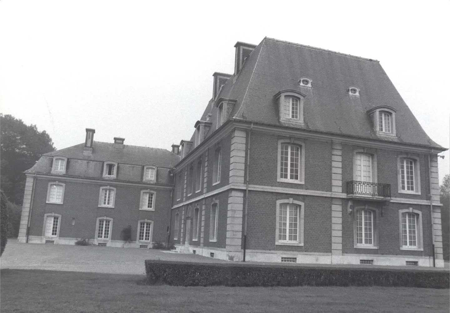
Loveld Castle, formerly also Aalter Castle, is a Belgian castle in Aalter, East Flanders. The building with an L-shaped plan is located in a large landscaped garden in the Loveld district. It was built in 1912 by order of Charles de Hemricourt de Grunne (mayor of Aalter from 1921 to 1932), based on a project by architect Octave Flanneau.
- Category
- Forgotten History
- Location
- Aalter, Belgium
- Address
- Loveldlaan 47, Aalter
- Coordinates
- 51.07943, 3.46016
- How to get there
- Google MapsApple MapsOpenStreetMap
- Wikidata
- Q66384954
What is Kasteel Loveld?
Kasteel Loveld is a Forgotten History place on VeroMaps, on Loveldlaan 47. Other places close by: Mariahove Castle, Fort Sint-Filips, Kasteel Ter Wallen, Poeke Castle.
Where is Kasteel Loveld?
Kasteel Loveld is in Aalter, Belgium. Coordinates: 51.07943, 3.46016.
How do I get to Kasteel Loveld?
Kasteel Loveld is at Loveldlaan 47, Aalter, Belgium (51.07943, 3.46016). Enter these coordinates in Google Maps, Apple Maps or OpenStreetMap for walking, cycling or driving directions.