Forgotten History
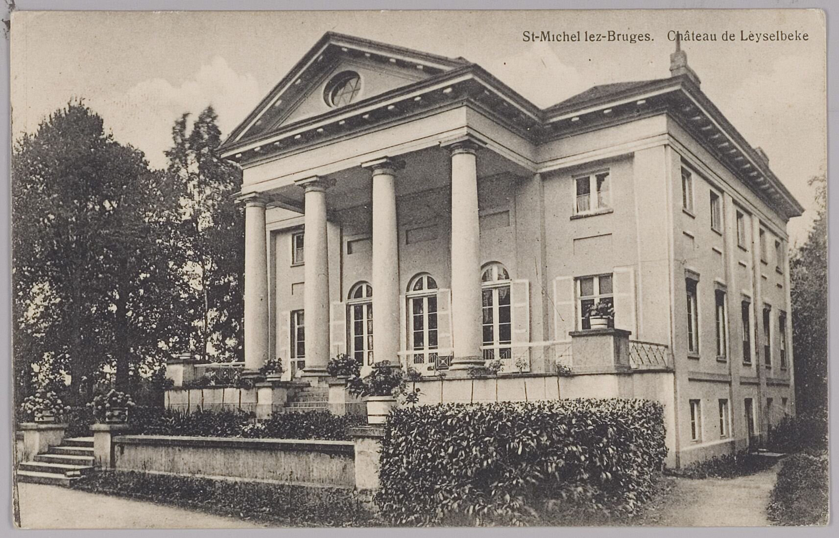
Kasteel Leysselbeek
Bruges, Belgium
Leyselebeke Castle is a neoclassical castle located in the bend of the Leyselebeek, north of Heidelbergstraat in Sint-Michiels, a district of Bruges. The name is derived from the Leysselbeek and was previously also called Leyselbeke. The castle was built around 1803 by Charles Donny, a resident of Bruges, using recycled materials from the demolished St. Donaas Cathedral. The architect of the castle is not known for certain, but Jan-Robert Calloigne (1775-1830) or Hubert Dumortier are mentioned as possible designers.
- Category
- Forgotten History
- Location
- Bruges, Belgium
- Coordinates
- 51.17647, 3.22039
- How to get there
- Google MapsApple MapsOpenStreetMap
- Wikidata
- Q125380425
What is Kasteel Leysselbeek?
Kasteel Leysselbeek is a Forgotten History place on VeroMaps. Other places close by: Kasteel Ter Lucht, Katelijnebrug, Braetsmolen, Loppem Castle.
Where is Kasteel Leysselbeek?
Kasteel Leysselbeek is in Bruges, Belgium. Coordinates: 51.17647, 3.22039.
How do I get to Kasteel Leysselbeek?
Kasteel Leysselbeek is at Bruges, Belgium (51.17647, 3.22039). Enter these coordinates in Google Maps, Apple Maps or OpenStreetMap for walking, cycling or driving directions.