Forgotten History
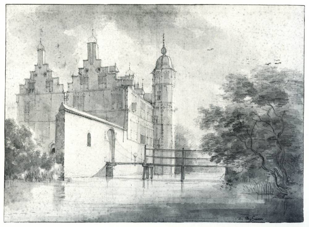
Kasteel Cronesteyn
Leiden, Netherlands
Castle Cronesteyn was a castle southeast of Leiden in Zoeterwoude, on the east side of the Roomburger Watering (now the Vliet) near Lammen. The castle was built around 1300 as a fortified farmhouse. Today it is located in the public polder park Cronesteyn and only the moat around the (not freely accessible) inner area can be seen.
- Category
- Forgotten History
- Location
- Leiden, Netherlands
- Address
- Cronesteyn 1–2, Leiden
- Coordinates
- 52.14123, 4.49143
- How to get there
- Google MapsApple MapsOpenStreetMap
- Wikidata
- Q2095468
What is Kasteel Cronesteyn?
Kasteel Cronesteyn is a Forgotten History place on VeroMaps, on Cronesteyn 1–2. Other places close by: Jaagbrug, Jan van Goyenbrug, Antoniuskerk, Fredericus en Odulfuskerk.
Where is Kasteel Cronesteyn?
Kasteel Cronesteyn is in Leiden, Netherlands. Coordinates: 52.14123, 4.49143.
How do I get to Kasteel Cronesteyn?
Kasteel Cronesteyn is at Cronesteyn 1–2, Leiden, Netherlands (52.14123, 4.49143). Enter these coordinates in Google Maps, Apple Maps or OpenStreetMap for walking, cycling or driving directions.