Forgotten History
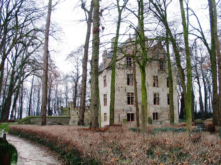
Kasteel Beauvoorde
Bruges, Belgium
Beauvoorde Castle (Dutch: Kasteel Beauvoorde) is a castle in Wulveringem, which since 1977 has been part of the municipality of Veurne, West Flanders, Belgium. The first identified owner of the castle, in 1408, was Jan de Valuwe. In 1584, during the early part of the Eighty Years' War, the castle was burned down by bandits.
- Category
- Forgotten History
- Location
- Bruges, Belgium
- Address
- Wulveringemstraat 10, Bruges
- Coordinates
- 51.01571, 2.65670
- How to get there
- Google MapsApple MapsOpenStreetMap
- Wikidata
- Q2586921
What is Kasteel Beauvoorde?
Kasteel Beauvoorde is a Forgotten History place on VeroMaps, on Wulveringemstraat 10. Other places close by: Onze-Lieve-Vrouw-van-Barmhartigheidkapel, Vleeshal, Caesarsboom, Westpoort.
Where is Kasteel Beauvoorde?
Kasteel Beauvoorde is in Bruges, Belgium. Coordinates: 51.01571, 2.65670.
How do I get to Kasteel Beauvoorde?
Kasteel Beauvoorde is at Wulveringemstraat 10, Bruges, Belgium (51.01571, 2.65670). Enter these coordinates in Google Maps, Apple Maps or OpenStreetMap for walking, cycling or driving directions.