Urbex & Abandoned
Karlsburg
Ruine Karlburg, Germany
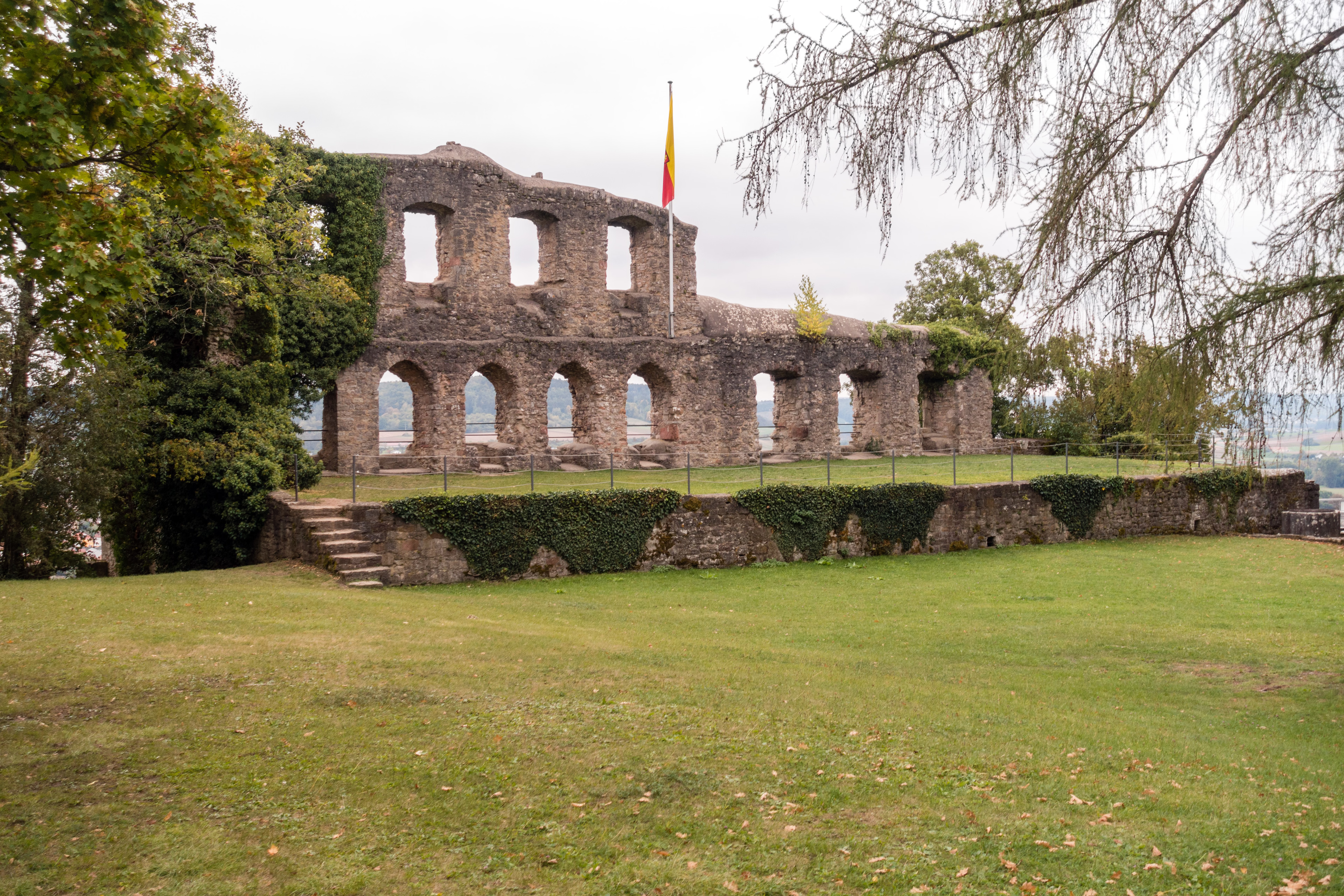
The Karlsburg is the ruins of a spur castle that was destroyed in 1525 on a wide rock spur on the left bank of the Main in the Mühlbach district opposite the town of Karlstadt, approx. 25 km northwest of Würzburg. To the north below the castle was the associated valley settlement in the area of today's Karlburg district.
- Category
- Urbex & Abandoned
- Location
- Ruine Karlburg, Germany
- Coordinates
- 49.96144, 9.75776
- How to get there
- Google MapsApple MapsOpenStreetMap
- Wikidata
- Q1733913
What is Karlsburg?
Karlsburg is a Urbex & Abandoned place on VeroMaps. Other places close by: Burgruine, Burg Adolphsbühl, Schönrain am Main, Burgruine.
Where is Karlsburg?
Karlsburg is in Ruine Karlburg, Germany. Coordinates: 49.96144, 9.75776.
How do I get to Karlsburg?
Karlsburg is at Ruine Karlburg, Germany (49.96144, 9.75776). Enter these coordinates in Google Maps, Apple Maps or OpenStreetMap for walking, cycling or driving directions.