Urbex & Abandoned
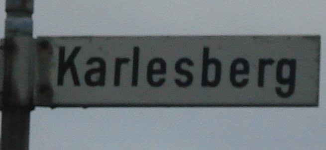
Karlesberg
Frankfurt, Germany
Karlesberg (historisch auch Carlsberg genannt) ist die Wüstung eines Dorfes im unterfränkischen Landkreis Aschaffenburg in Bayern. Sie liegt auf dem Gebiet der heutigen Marktgemeinde Mömbris. Karlsberg fiel im 19. Jahrhundert wüst. In verschiedenen älteren Statistiken wird die ehemalige Siedlung als eigener Ortsteil von Mömbris aufgeführt.
- Category
- Urbex & Abandoned
- Location
- Frankfurt, Germany
- Coordinates
- 50.07180, 9.14629
- How to get there
- Google MapsApple MapsOpenStreetMap
- Wikidata
- Q2597178
What is Karlesberg?
Karlesberg is a Urbex & Abandoned place on VeroMaps. Other places close by: Bildeiche (Hahnenkamm), Sender Alzenau in Unterfranken-Hahnenkamm, Rothenberger Hof, Klosterberg (Spessart).
Where is Karlesberg?
Karlesberg is in Frankfurt, Germany. Coordinates: 50.07180, 9.14629.
How do I get to Karlesberg?
Karlesberg is at Frankfurt, Germany (50.07180, 9.14629). Enter these coordinates in Google Maps, Apple Maps or OpenStreetMap for walking, cycling or driving directions.