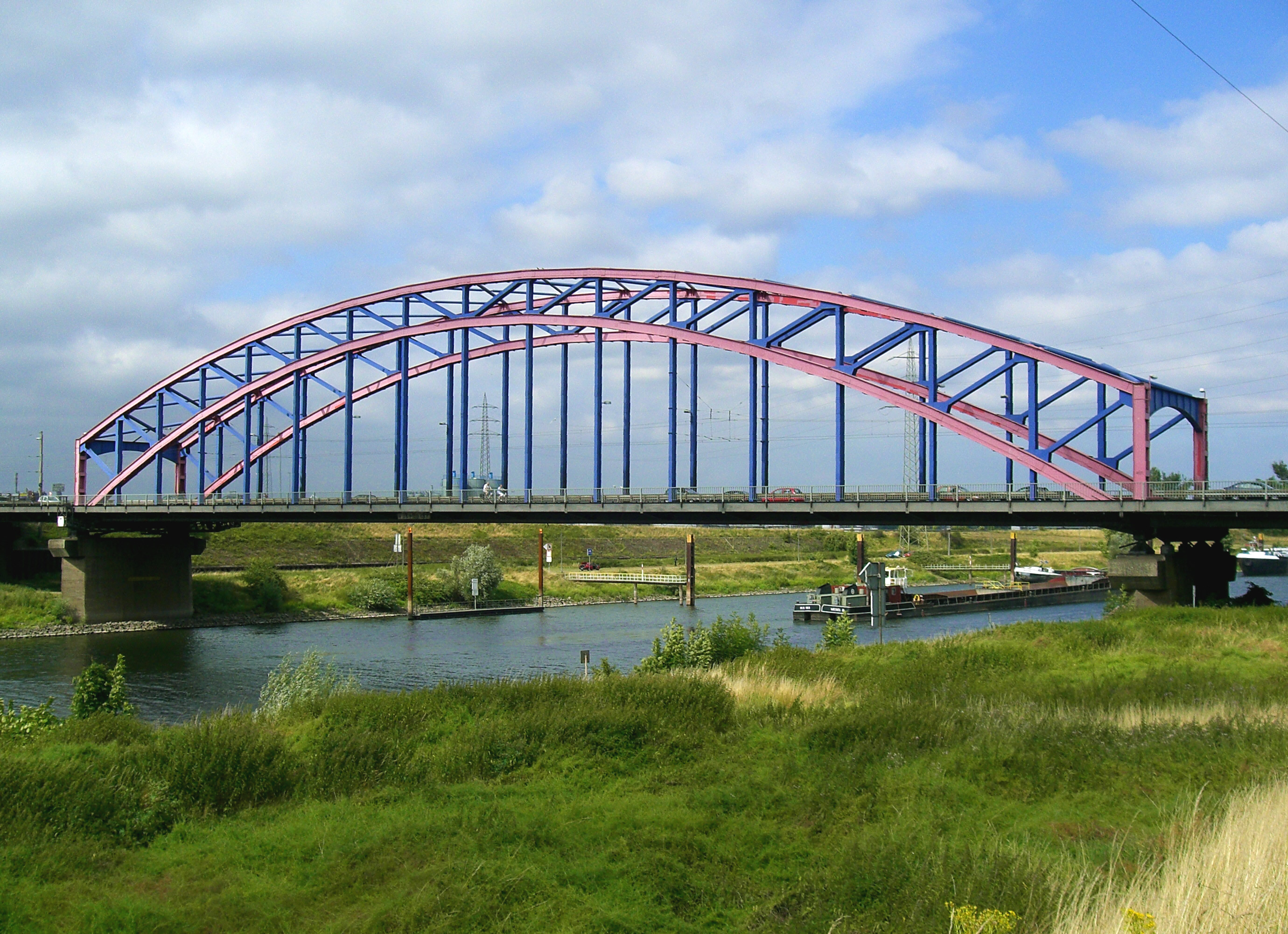
Photo corners
Karl Lehr bridge
Duisburg, Germany
Die Karl-Lehr-Brücke ist eine Straßenbrücke über die Ruhr bei Flusskilometer 1,934. Sie ist die letzte Brücke über den Fluss vor seiner Mündung in den Rhein und verbindet die Ortsteile Kaßlerfeld und Ruhrort in Duisburg.
- Category
- Photo Spots
- Location
- Duisburg, Germany
- Coordinates
- 51.44436, 6.74556
- How to get there
- Google MapsApple MapsOpenStreetMap
- Wikidata
- Q1689887
What is Karl Lehr bridge?
Karl Lehr bridge is a Photo Spots place on VeroMaps. Other places close by: Kasteel Ruhrort, Garten der Erinnerung, Brücke der Solidarität, Duissern Botanical Garden.
Where is Karl Lehr bridge?
Karl Lehr bridge is in Duisburg, Germany. Coordinates: 51.44436, 6.74556.
How do I get to Karl Lehr bridge?
Karl Lehr bridge is at Duisburg, Germany (51.44436, 6.74556). Enter these coordinates in Google Maps, Apple Maps or OpenStreetMap for walking, cycling or driving directions.