Photo corners
Juodkrantė Lighthouse
Klaipeda, Lithuania
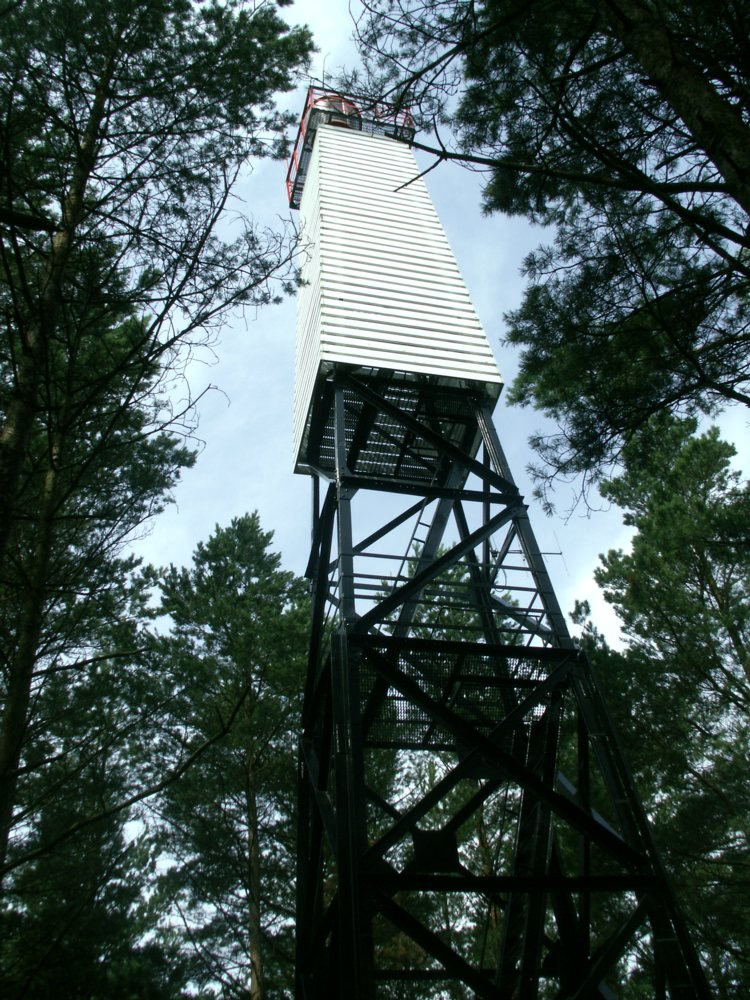
Juodkrantė Lighthouse (Lithuanian: Juodkrantė švyturys) - a lighthouse on the Curonian Spit, on the Lithuanian coast of the Baltic Sea. The lighthouse was constructed in 1950; 900 metres away from the coastline. The lighthouse is a square pyramidal skeletal tower - with a white daymark and red gallery - making the lighthouse appear enclosed from far away.
- Category
- Photo Spots
- Location
- Klaipeda, Lithuania
- Coordinates
- 55.55650, 21.11583
- How to get there
- Google MapsApple MapsOpenStreetMap
- Wikidata
- Q4534721
What is Juodkrantė Lighthouse?
Juodkrantė Lighthouse is a Photo Spots place on VeroMaps. Other places close by: Pervalka Lighthouse, Klaipėda Lighthouse, Šturmų žuvies restoranas, Cape Vente Lighthouse.
Where is Juodkrantė Lighthouse?
Juodkrantė Lighthouse is in Klaipeda, Lithuania. Coordinates: 55.55650, 21.11583.
How do I get to Juodkrantė Lighthouse?
Juodkrantė Lighthouse is at Klaipeda, Lithuania (55.55650, 21.11583). Enter these coordinates in Google Maps, Apple Maps or OpenStreetMap for walking, cycling or driving directions.