Night Life
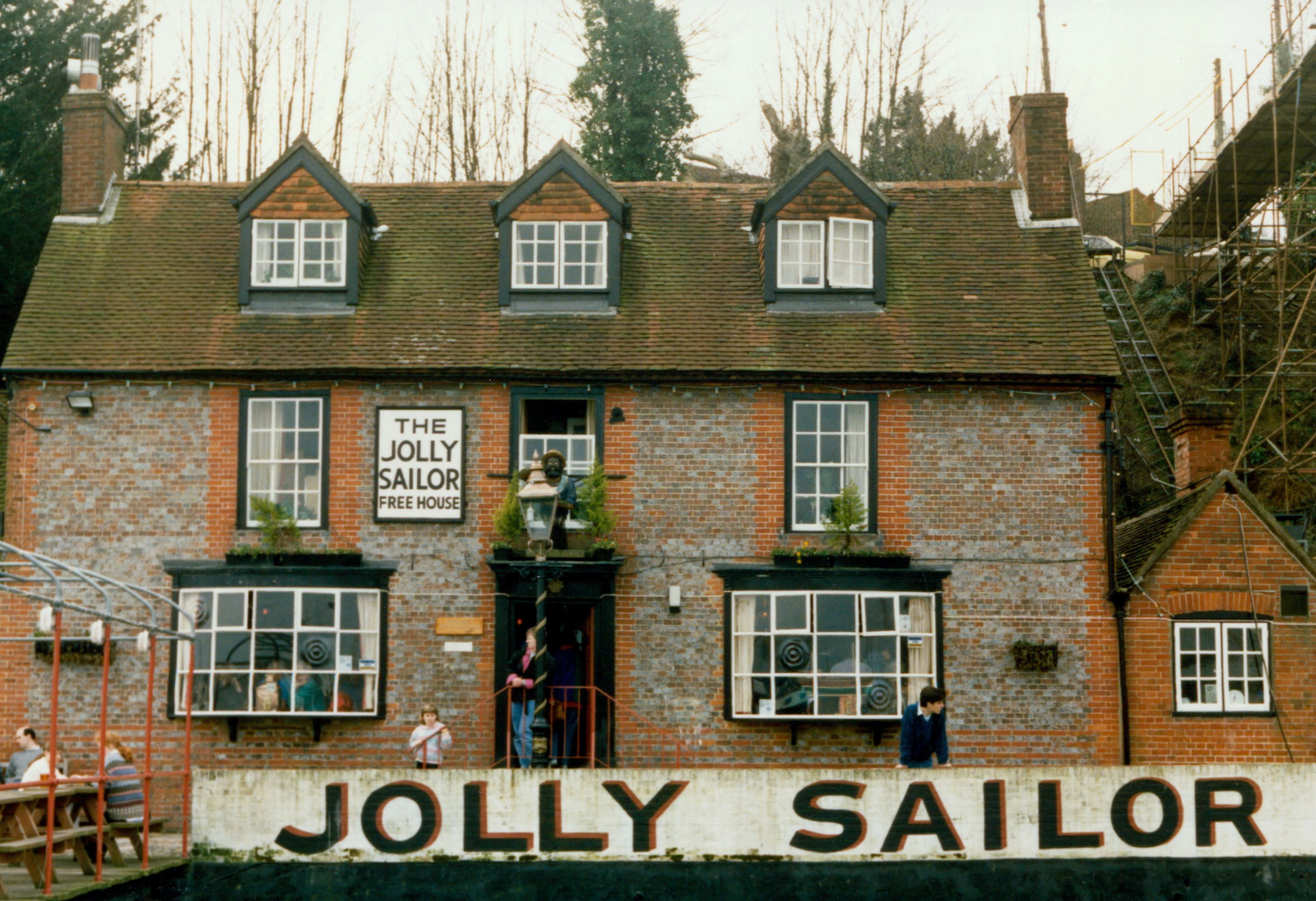
Jolly Sailor Public House
Oxford, United Kingdom
The Jolly Sailor is an 18th-century public house on Land's End Road in Bursledon in Hampshire, England. It has been listed Grade II on the National Heritage List for England since December 1955. The pub can be approached on foot or by boat via a pontoon onto the River Hamble.
- Category
- Night Life
- Location
- Oxford, United Kingdom
- Address
- Lands End Road, Oxford
- Coordinates
- 50.88182, -1.30435
- How to get there
- Google MapsApple MapsOpenStreetMap
- Wikidata
- Q26405824
What is Jolly Sailor Public House?
Jolly Sailor Public House is a Night Life place on VeroMaps, on Lands End Road. Other places close by: St Andrew's Castle, Calshot Castle, The Joiners, Old Farmhouse Public House.
Where is Jolly Sailor Public House?
Jolly Sailor Public House is in Oxford, United Kingdom. Coordinates: 50.88182, -1.30435.
How do I get to Jolly Sailor Public House?
Jolly Sailor Public House is at Lands End Road, Oxford, United Kingdom (50.88182, -1.30435). Enter these coordinates in Google Maps, Apple Maps or OpenStreetMap for walking, cycling or driving directions.