Photo corners
Ith-Tower
Ith-Kammweg, Germany
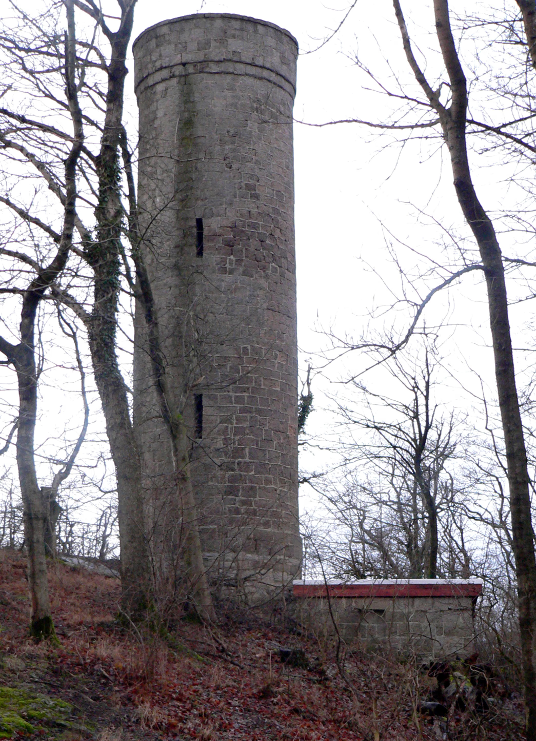
Der Ithturm ist ein 1912 errichteter 13,8 m hoher Aussichtsturm auf dem Ith zwischen Lauenstein und Bisperode in Niedersachsen. Er steht auf dem Lauensteiner Kopf, der mit 439 m ü. NHN höchsten Erhebung des langgestreckten Ithkamms im „Krüllbrink“ genannten Nordteil des Höhenzugs.
- Category
- Photo Spots
- Location
- Ith-Kammweg, Germany
- Coordinates
- 52.08586, 9.52692
- How to get there
- Google MapsApple MapsOpenStreetMap
- Wikidata
- Q1675280
What is Ith-Tower?
Ith-Tower is a Photo Spots place on VeroMaps. Other places close by: Schloss Bisperode, Lauenstein Castle, Burg Coppenbrügge, Lönsturm.
Where is Ith-Tower?
Ith-Tower is in Ith-Kammweg, Germany. Coordinates: 52.08586, 9.52692.
How do I get to Ith-Tower?
Ith-Tower is at Ith-Kammweg, Germany (52.08586, 9.52692). Enter these coordinates in Google Maps, Apple Maps or OpenStreetMap for walking, cycling or driving directions.