Photo corners
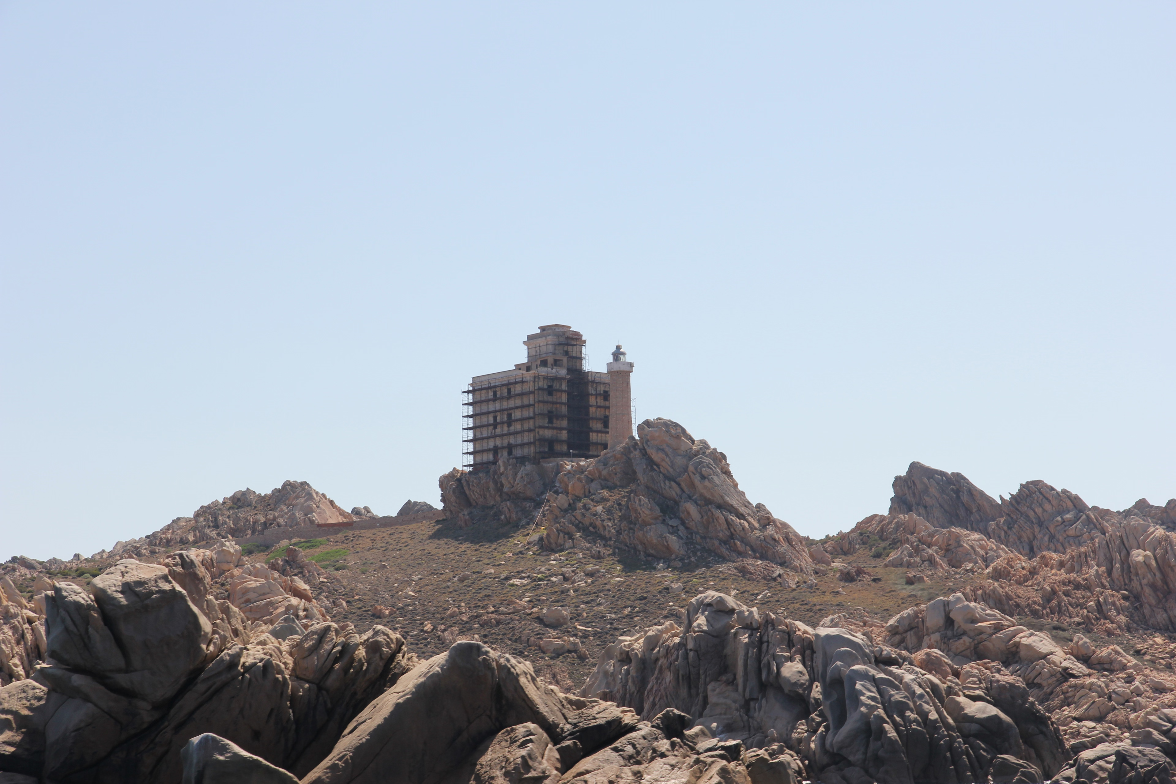
Isola Razzoli Lighthouse
La Maddalena, Italy
Isola Razzoli Lighthouse (Italian: Faro di Isola Razzoli) is an active lighthouse located on an islet, 2.45 kilometres (1.52 mi) long, in the Maddalena archipelago. The lighthouse is the northernmost in Sardinia, on the eastern approach to the Strait of Bonifacio, and is at 7.42 kilometres (4.61 mi) from the French Lavezzi archipelago. The island is in the municipality of La Maddalena on the Tyrrhenian Sea.
- Category
- Photo Spots
- Location
- La Maddalena, Italy
- Coordinates
- 41.30711, 9.33984
- How to get there
- Google MapsApple MapsOpenStreetMap
- Wikidata
- Q28376065
What is Isola Razzoli Lighthouse?
Isola Razzoli Lighthouse is a Photo Spots place on VeroMaps. Other places close by: Punta Filetto lighthouse, Barrettinelli di Fuori Lighthouse, Punta Sardegna Lighthouse, Punta Palau lighthouse.
Where is Isola Razzoli Lighthouse?
Isola Razzoli Lighthouse is in La Maddalena, Italy. Coordinates: 41.30711, 9.33984.
How do I get to Isola Razzoli Lighthouse?
Isola Razzoli Lighthouse is at La Maddalena, Italy (41.30711, 9.33984). Enter these coordinates in Google Maps, Apple Maps or OpenStreetMap for walking, cycling or driving directions.