Photo corners
Islamic Village Settlement of Bofilla
Betera, Spain
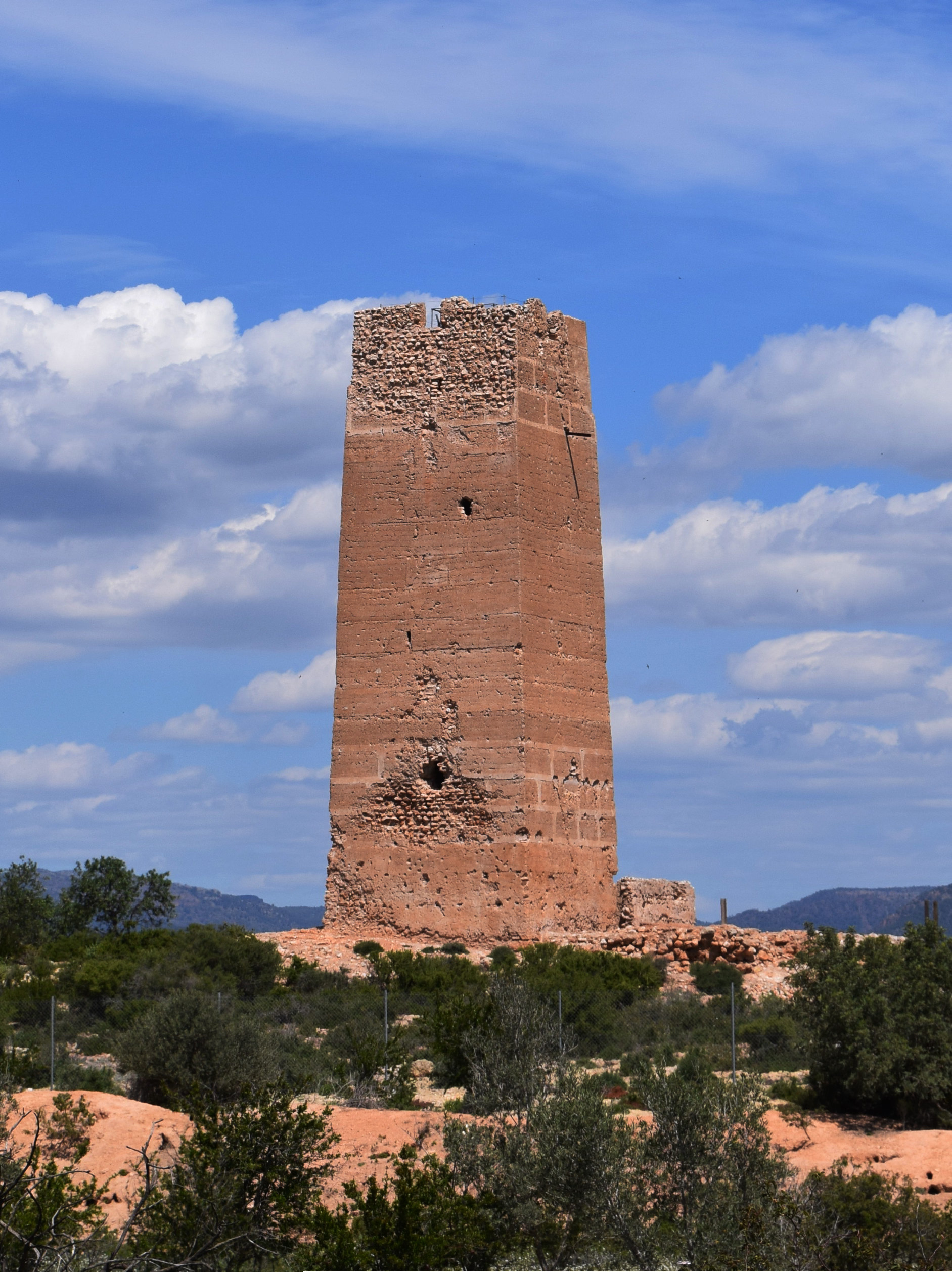
La torre Bofilla es un despoblado medieval que proviene de la época árabe. Se encuentra a 14 km de Valencia y a 3,5 de Bétera. Se trata de un asentamiento que surge de las necesidades defensivas de la taifa de Valencia en el siglo XIV, sin destrucción ni incendio, por lo que nos encontramos, casi intacto, un tipo de alquería musulmana cuya población continuó tras la conquista cristiana.
- Category
- Photo Spots
- Location
- Betera, Spain
- Coordinates
- 39.58010, -0.42914
- How to get there
- Google MapsApple MapsOpenStreetMap
- Wikidata
- Q758919
What is Islamic Village Settlement of Bofilla?
Islamic Village Settlement of Bofilla is a Photo Spots place on VeroMaps. Other places close by: Bétera Castle of the Boil, Castell dels Cruïlles, Torre de la Casa Palacio de los Boíl, Bernardo Vidal Factory.
Where is Islamic Village Settlement of Bofilla?
Islamic Village Settlement of Bofilla is in Betera, Spain. Coordinates: 39.58010, -0.42914.
How do I get to Islamic Village Settlement of Bofilla?
Islamic Village Settlement of Bofilla is at Betera, Spain (39.58010, -0.42914). Enter these coordinates in Google Maps, Apple Maps or OpenStreetMap for walking, cycling or driving directions.