Urbex & Abandoned
Independence Mines
Matanuska-Susitna Borough, United States
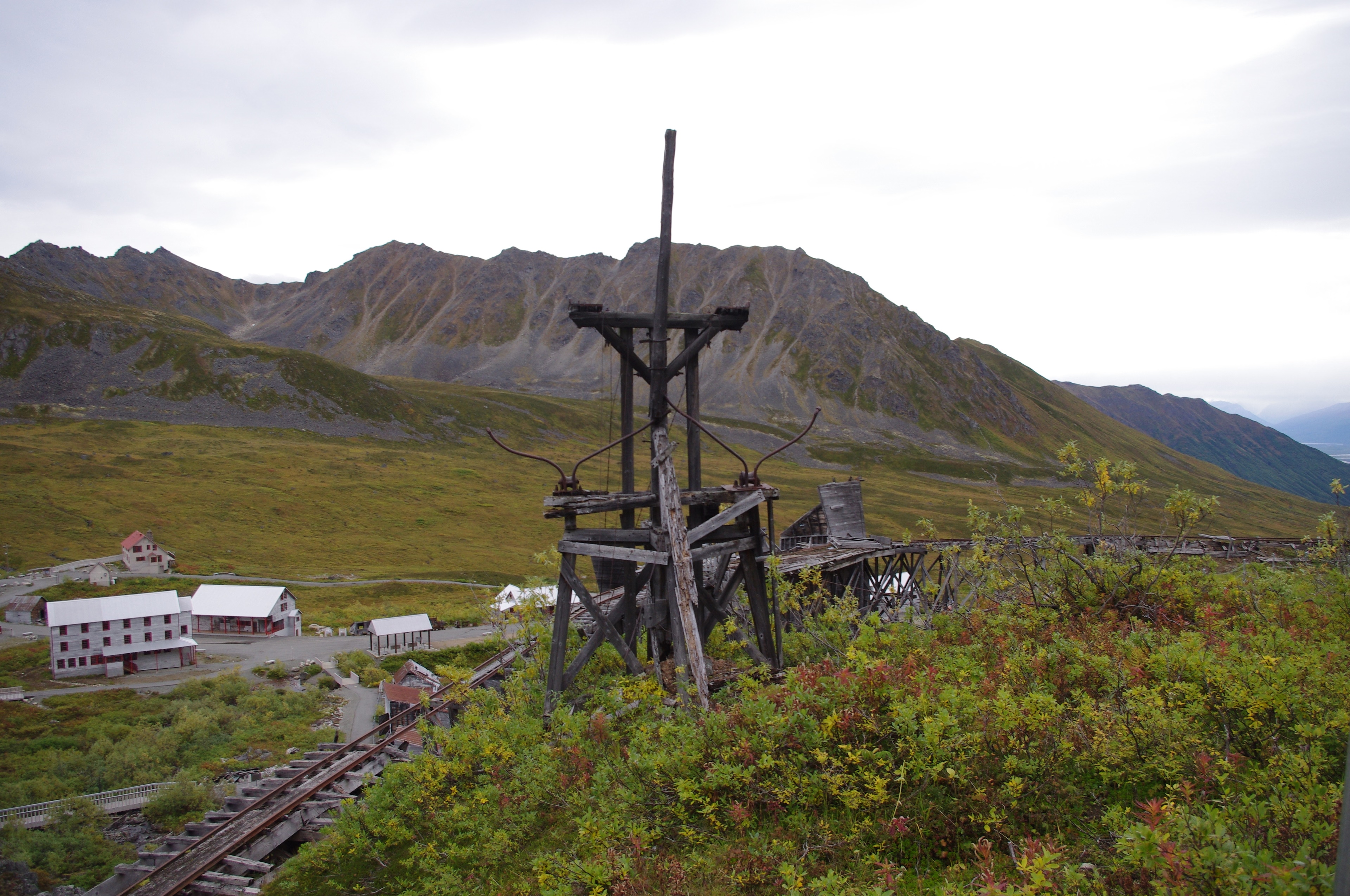
The Independence Mines, now Independence Mine State Historical Park, is the site of a former gold mining operation in the Talkeetna Mountains, across Hatcher Pass from Palmer, Alaska. The area's mining history dates to at least 1897, when active claims were reported in the vicinity of Fishook Creek.
- Category
- Urbex & Abandoned
- Location
- Matanuska-Susitna Borough, United States
- Coordinates
- 61.79030, -149.28467
- How to get there
- Google MapsApple MapsOpenStreetMap
- Wikidata
- Q19462474
What is Independence Mines?
Independence Mines is a Urbex & Abandoned place on VeroMaps. Other places close by: Alaska Botanical Garden, Moose's Tooth Pub & Pizzeria.
Where is Independence Mines?
Independence Mines is in Matanuska-Susitna Borough, United States. Coordinates: 61.79030, -149.28467.
How do I get to Independence Mines?
Independence Mines is at Matanuska-Susitna Borough, United States (61.79030, -149.28467). Enter these coordinates in Google Maps, Apple Maps or OpenStreetMap for walking, cycling or driving directions.