Photo corners
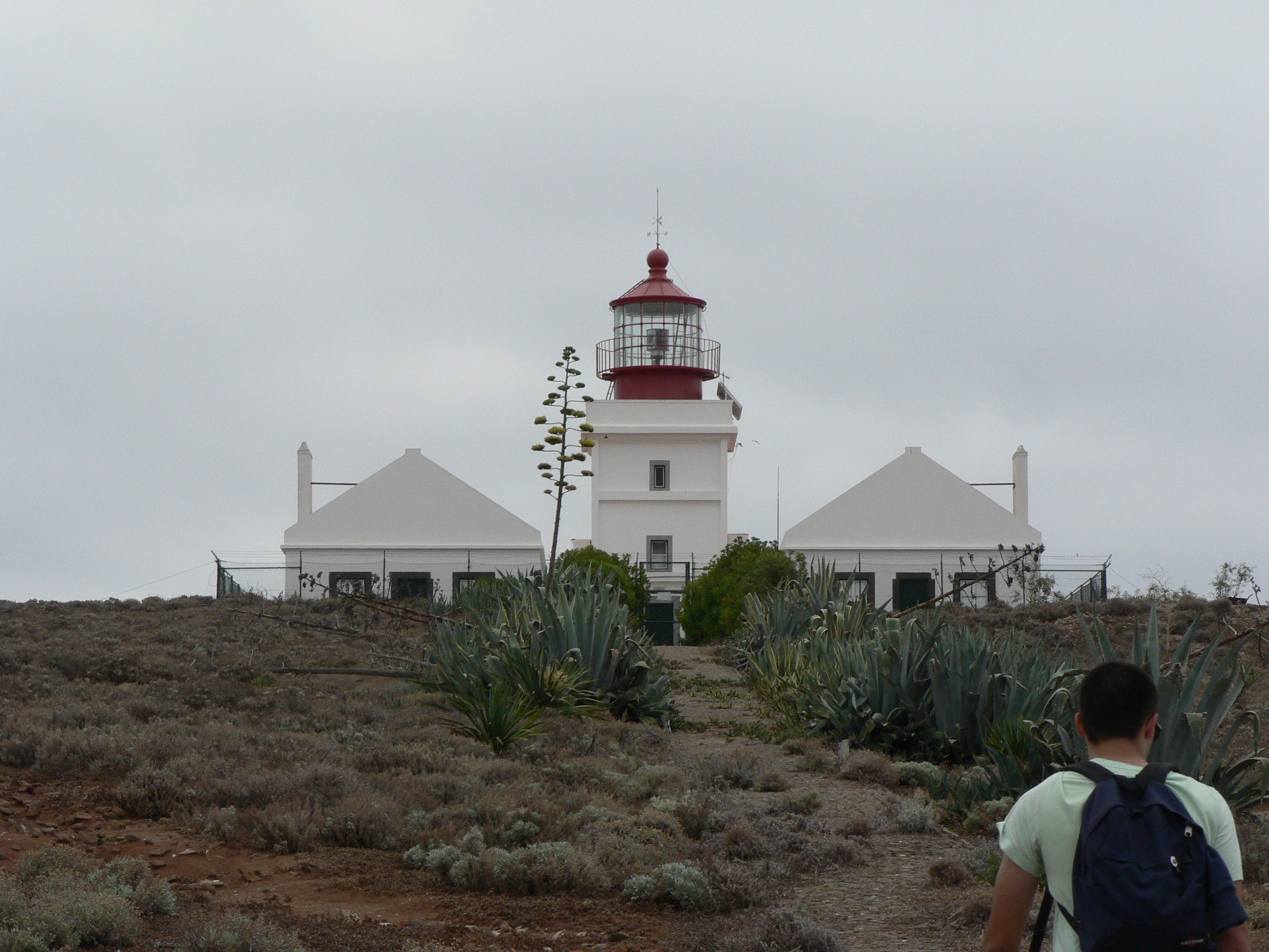
Ilhéu de Cima Lighthouse
Vila de Porto Santo, Portugal
De Farol do Ilhéu de Cima is een vuurtoren op het Portugese eiland Ilhéu de Cima horende bij de regio Madeira. Hij staat aan de oostkust van het eiland op een hoge rots. De vuurtoren heeft een vierkant grondplan, waarbij het onderste deel wit van kleur is en de lantaarn rood, en is 15 meter hoog. Hij werd gebouwd in 1900.
- Category
- Photo Spots
- Location
- Vila de Porto Santo, Portugal
- Coordinates
- 33.05472, -16.27889
- How to get there
- Google MapsApple MapsOpenStreetMap
- Wikidata
- Q10280190
What is Ilhéu de Cima Lighthouse?
Ilhéu de Cima Lighthouse is a Photo Spots place on VeroMaps. Other places close by: Costa Norte Porto Santo Light, Ilheu Ferro Lighthouse, Ponta de São Lourenço Lighthouse, Ilhéu Chão lighthouse.
Where is Ilhéu de Cima Lighthouse?
Ilhéu de Cima Lighthouse is in Vila de Porto Santo, Portugal. Coordinates: 33.05472, -16.27889.
How do I get to Ilhéu de Cima Lighthouse?
Ilhéu de Cima Lighthouse is at Vila de Porto Santo, Portugal (33.05472, -16.27889). Enter these coordinates in Google Maps, Apple Maps or OpenStreetMap for walking, cycling or driving directions.