Urbex & Abandoned
Hořany
Most, Czech Republic
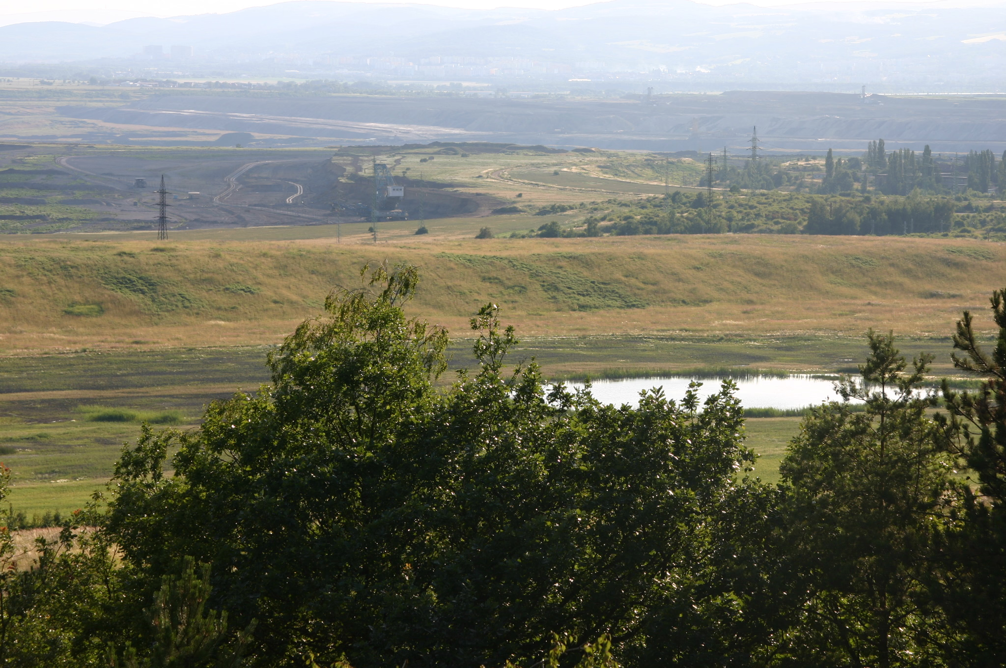
Hořany (deutsch Hareth, auch Horanth, Horant, Harränth,) war ein Dorf im Okres Most, Tschechien, das 1980 wegen des fortschreitenden Kohleabbaus devastiert wurde.
- Category
- Urbex & Abandoned
- Location
- Most, Czech Republic
- Coordinates
- 50.50222, 13.57333
- How to get there
- Google MapsApple MapsOpenStreetMap
- Wikidata
- Q1632184
What is Hořany?
Hořany is a Urbex & Abandoned place on VeroMaps. Other places close by: Holešice, Třebušice, Slatinice, Vršany.
Where is Hořany?
Hořany is in Most, Czech Republic. Coordinates: 50.50222, 13.57333.
How do I get to Hořany?
Hořany is at Most, Czech Republic (50.50222, 13.57333). Enter these coordinates in Google Maps, Apple Maps or OpenStreetMap for walking, cycling or driving directions.