Urbex & Abandoned
Homestake Mine
Lead, United States
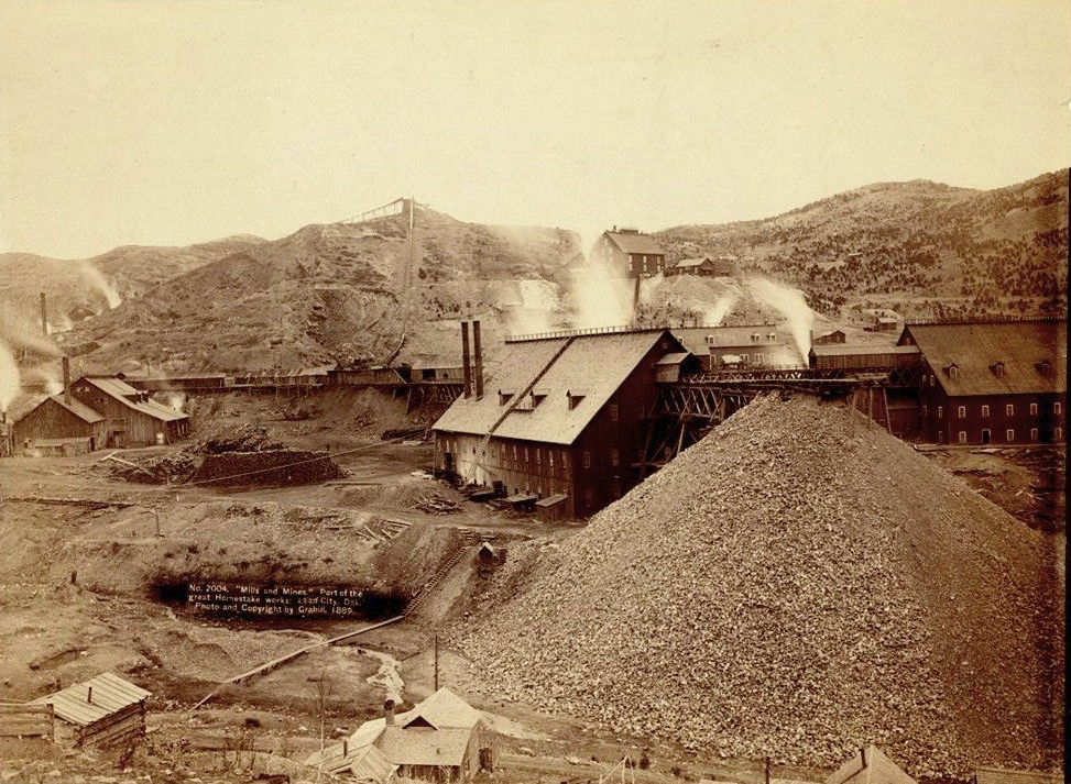
The Homestake Mine was a deep underground gold mine (8,000 feet or 2,438 m) located in Lead, South Dakota. Until it closed in 2002, it was the largest and deepest gold mine in the Western Hemisphere. The mine produced more than forty million troy ounces (43,900,000 oz; 1,240,000 kg) of gold during its lifetime. This is about 2,500 cubic feet (71 m3) or a volume of gold roughly equal to 18,677 US gallons. The Homestake Mine is famous in scientific circles because of the work of a deep underground laboratory that was established there in the mid-1960s. This was the site where the solar neutrino problem was first discovered, in what is known as the Homestake Experiment. Raymond Davis Jr. conducted this experiment in the mid-1960s, which was the first to observe solar neutrinos. On July 10, 2007, the mine was selected by the National Science Foundation as the location for the Deep Underground Science and Engineering Laboratory (DUSEL). It won over several candidates, including the Henderson Mine near Empire, Colorado.
- Category
- Urbex & Abandoned
- Location
- Lead, United States
- Coordinates
- 44.35610, -103.76500
- How to get there
- Google MapsApple MapsOpenStreetMap
- Wikidata
- Q2351504
What is Homestake Mine?
Homestake Mine is a Urbex & Abandoned place on VeroMaps. Other places close by: The Journey Museum and Gardens, Wall Drug, Dry Fork Mine, Eagle Butte Mine.
Where is Homestake Mine?
Homestake Mine is in Lead, United States. Coordinates: 44.35610, -103.76500.
How do I get to Homestake Mine?
Homestake Mine is at Lead, United States (44.35610, -103.76500). Enter these coordinates in Google Maps, Apple Maps or OpenStreetMap for walking, cycling or driving directions.