Forgotten History
Hohenfels Castle
Falkenstein, Germany
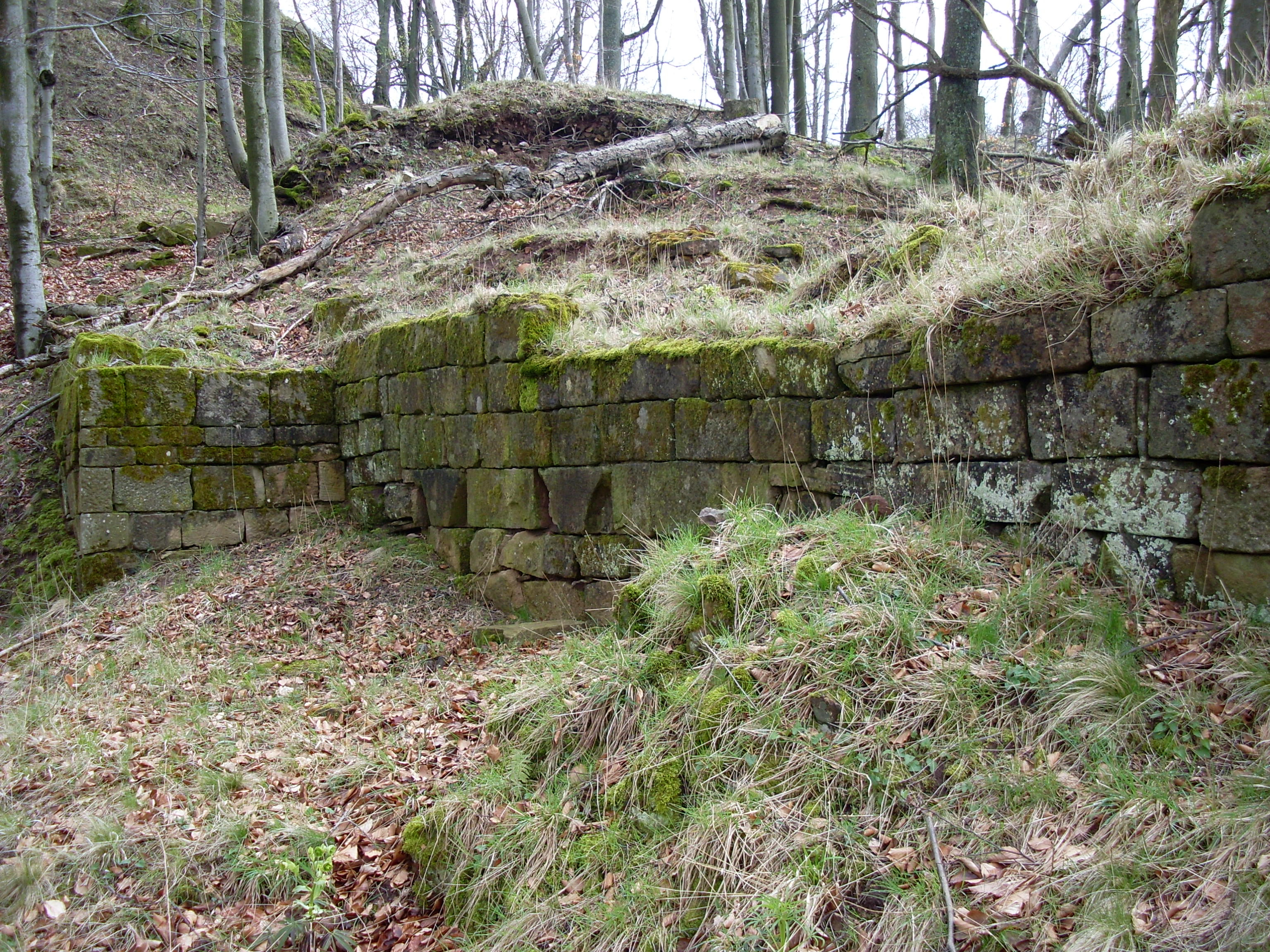
Hohenfels Castle (German: Burg Hohenfels) is a ruined hill castle at a height of 545 m above sea level (NHN), in the Beutelfels Nature Reserve north of the village of Imsbach in the county of Donnersbergkreis in the German state of Rhineland-Palatinate. The castle may be reached via a steep footpath from the visitor mine of Weiße Grube in the valley of Langental. The path passes the "Iron Man" monument (Eiserner Mann).
- Category
- Forgotten History
- Location
- Falkenstein, Germany
- Coordinates
- 49.60090, 7.89620
- How to get there
- Google MapsApple MapsOpenStreetMap
- Wikidata
- Q1012409
What is Hohenfels Castle?
Hohenfels Castle is a Forgotten History place on VeroMaps. Other places close by: Falkenstein Castle, Wildenstein Castle (Palatinate), Sender Donnersberg, Kesselburg.
Where is Hohenfels Castle?
Hohenfels Castle is in Falkenstein, Germany. Coordinates: 49.60090, 7.89620.
How do I get to Hohenfels Castle?
Hohenfels Castle is at Falkenstein, Germany (49.60090, 7.89620). Enter these coordinates in Google Maps, Apple Maps or OpenStreetMap for walking, cycling or driving directions.