Urbex & Abandoned
Hochofen Ramingstein
Ramingstein, Austria
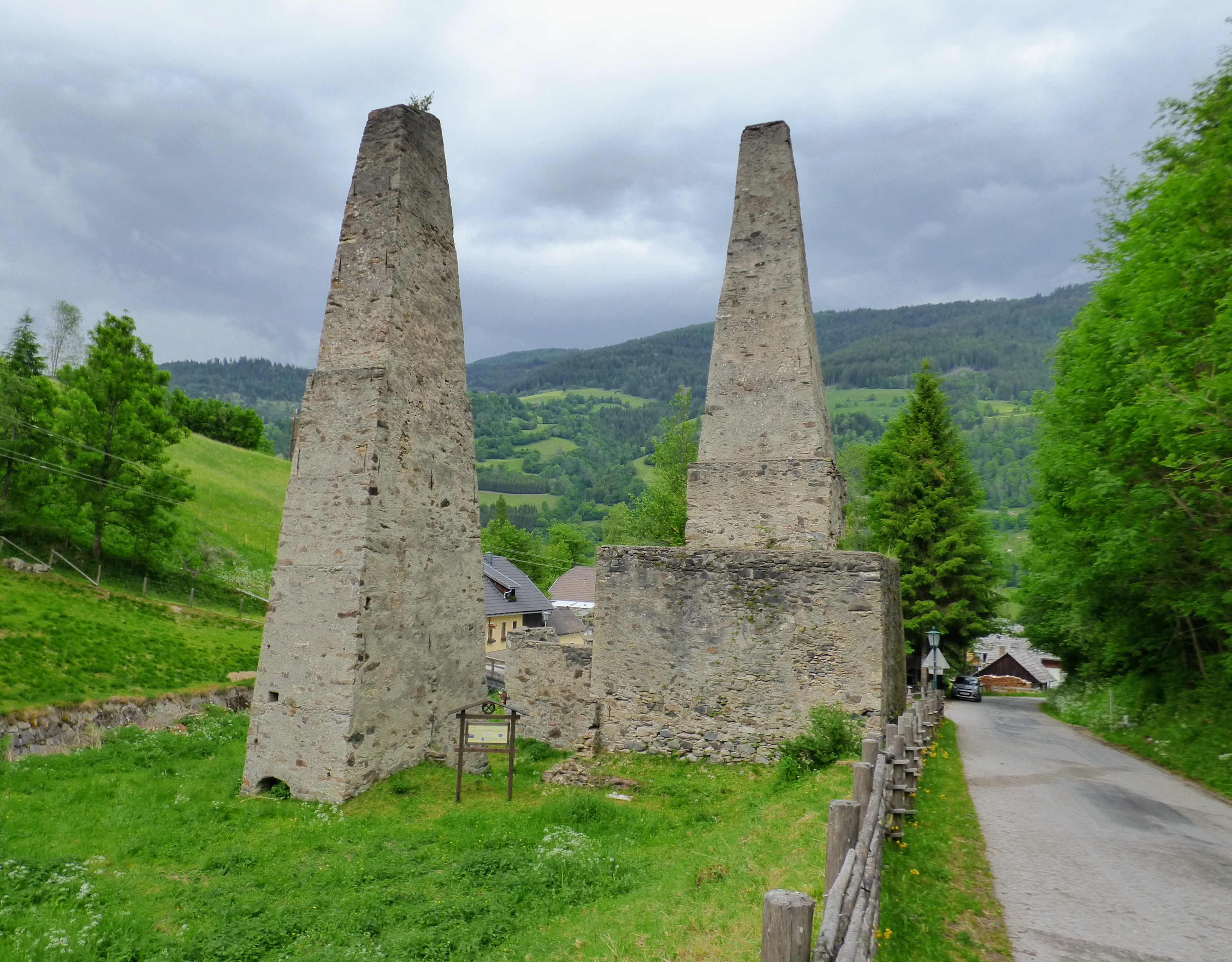
Die ehemalige Hochofenanlage Kendlbruck stand am Talausgang des Mühlbaches in der Ortschaft Kendlbruck in der Gemeinde Ramingstein im Bezirk Tamsweg im Land Salzburg. Die Ruinen stehen unter Denkmalschutz (Listeneintrag).
- Category
- Urbex & Abandoned
- Location
- Ramingstein, Austria
- Coordinates
- 47.06482, 13.87900
- How to get there
- Google MapsApple MapsOpenStreetMap
- Wikidata
- Q37914109
What is Hochofen Ramingstein?
Hochofen Ramingstein is a Urbex & Abandoned place on VeroMaps. Other places close by: Schwarzenbichlkapelle, Burgruine Edenvest, Ruine Irenfritzdorf mit Keller, Speicher, Schmiede u. Kapelle, Burgruine Klauseck.
Where is Hochofen Ramingstein?
Hochofen Ramingstein is in Ramingstein, Austria. Coordinates: 47.06482, 13.87900.
How do I get to Hochofen Ramingstein?
Hochofen Ramingstein is at Ramingstein, Austria (47.06482, 13.87900). Enter these coordinates in Google Maps, Apple Maps or OpenStreetMap for walking, cycling or driving directions.