Urbex & Abandoned
Hill Annex Mine State Park
MN, United States
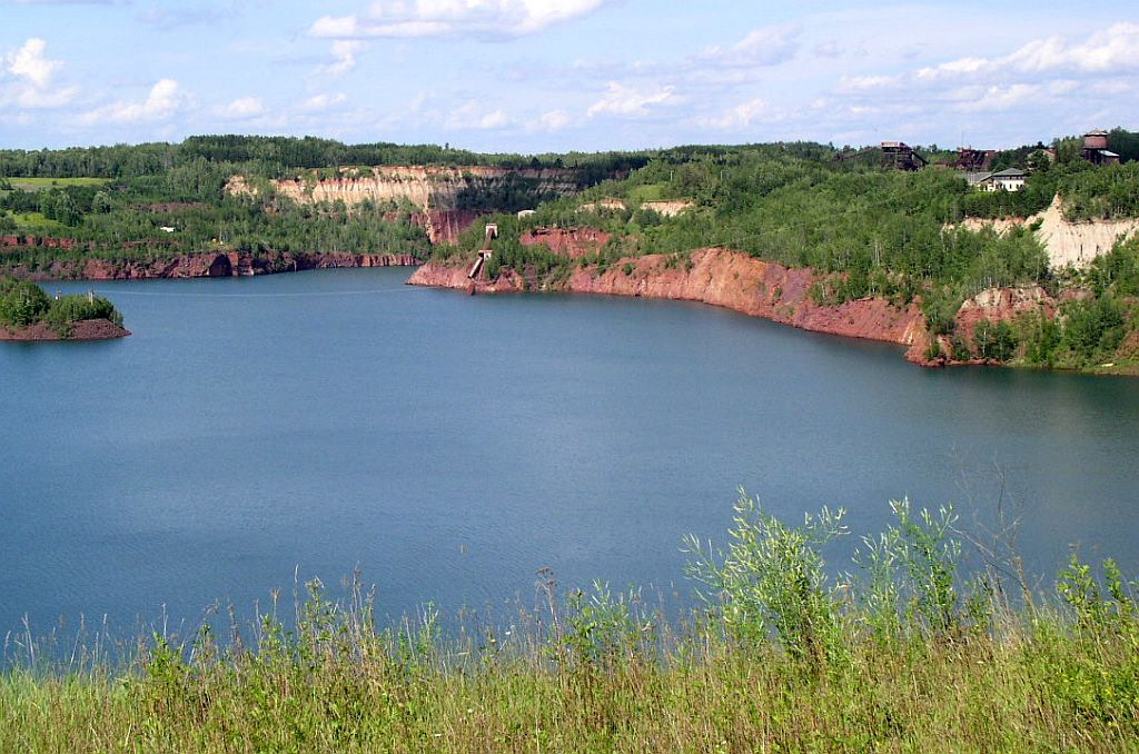
Hill-Annex Mine State Park is a former state park of Minnesota, United States, interpreting the open-pit mining heritage of the Mesabi Range. The park was located north of the city of Calumet, in Itasca County, Minnesota. The park provided access to fossil material exposed by mining from the Cretaceous era Coleraine Formation.
- Category
- Urbex & Abandoned
- Location
- MN, United States
- Address
- 56956 Scenic Highway 7, MN
- Coordinates
- 47.33580, -93.26690
- How to get there
- Google MapsApple MapsOpenStreetMap
- Wikidata
- Q14692644
What is Hill Annex Mine State Park?
Hill Annex Mine State Park is a Urbex & Abandoned place on VeroMaps, on 56956 Scenic Highway 7. Other places close by: Hull–Rust–Mahoning Open Pit Iron Mine, Mountain Iron Mine, Lake Vermilion-Soudan Underground Mine State Park, DeWitt-Seitz Building.
Where is Hill Annex Mine State Park?
Hill Annex Mine State Park is in MN, United States. Coordinates: 47.33580, -93.26690.
How do I get to Hill Annex Mine State Park?
Hill Annex Mine State Park is at 56956 Scenic Highway 7, MN, United States (47.33580, -93.26690). Enter these coordinates in Google Maps, Apple Maps or OpenStreetMap for walking, cycling or driving directions.