Forgotten History
Herthaburg
Mecklenburg-Vorpommern, Germany
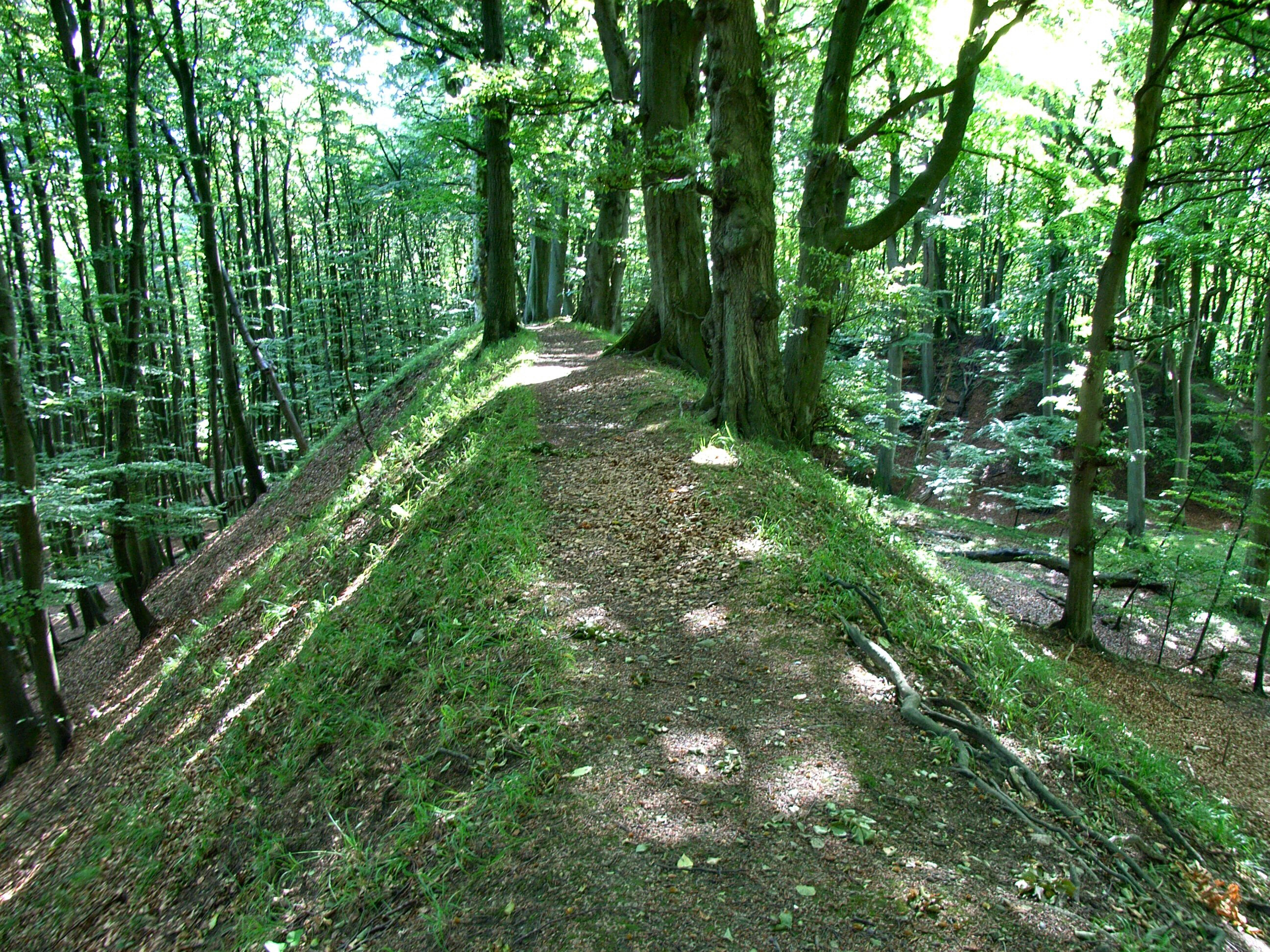
The Herthaburg near the Stubbenkammer in the Jasmund National Park on the island of Rügen is a hill fort from the time of Slavic settlement in Rügen from the 8th to the 12th century. The facility was built on an existing ridge on the northeastern bank of Lake Hertha in Stubnitz. The area enclosed by the rampart and the shore of the lake is approximately 120 × 60 m and the width of the entire rampart is over 180 m. From the outside, the ramp is a maximum of 17 m high in the northeastern area, but from the inside it is only 8 m.
- Category
- Forgotten History
- Location
- Mecklenburg-Vorpommern, Germany
- Coordinates
- 54.56667, 13.65000
- How to get there
- Google MapsApple MapsOpenStreetMap
- Wikidata
- Q1614710
What is Herthaburg?
Herthaburg is a Forgotten History place on VeroMaps. Other places close by: Großsteingrab Hagen, Leuchtturm Kollicker Ort, Großsteingräber bei Nipmerow, Molenfeuer Sassnitz.
Where is Herthaburg?
Herthaburg is in Mecklenburg-Vorpommern, Germany. Coordinates: 54.56667, 13.65000.
How do I get to Herthaburg?
Herthaburg is at Mecklenburg-Vorpommern, Germany (54.56667, 13.65000). Enter these coordinates in Google Maps, Apple Maps or OpenStreetMap for walking, cycling or driving directions.