Urbex & Abandoned
Hermannstetten
Ostallgäu, Germany
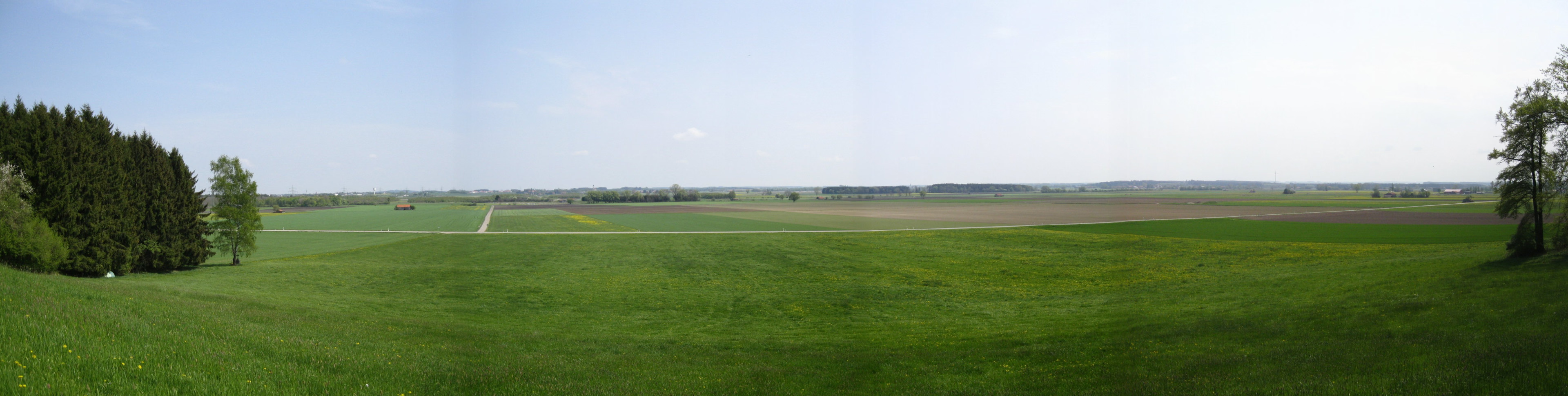
Hermannstetten ist ein seit dem 17. Jahrhundert verschwundener Ort auf dem Gebiet der Landkreise Unterallgäu und Ostallgäu in Bayern.
- Category
- Urbex & Abandoned
- Location
- Ostallgäu, Germany
- Coordinates
- 48.01440, 10.67780
- How to get there
- Google MapsApple MapsOpenStreetMap
- Wikidata
- Q1613423
What is Hermannstetten?
Hermannstetten is a Urbex & Abandoned place on VeroMaps. Other places close by: Gasthaus Ritter, St. Peter und Paul, Sebastian-Kneipp-Denkmal, Burgstall Siebnach.
Where is Hermannstetten?
Hermannstetten is in Ostallgäu, Germany. Coordinates: 48.01440, 10.67780.
How do I get to Hermannstetten?
Hermannstetten is at Ostallgäu, Germany (48.01440, 10.67780). Enter these coordinates in Google Maps, Apple Maps or OpenStreetMap for walking, cycling or driving directions.