Forgotten History
Henkenshage
Son en Breugel, Netherlands
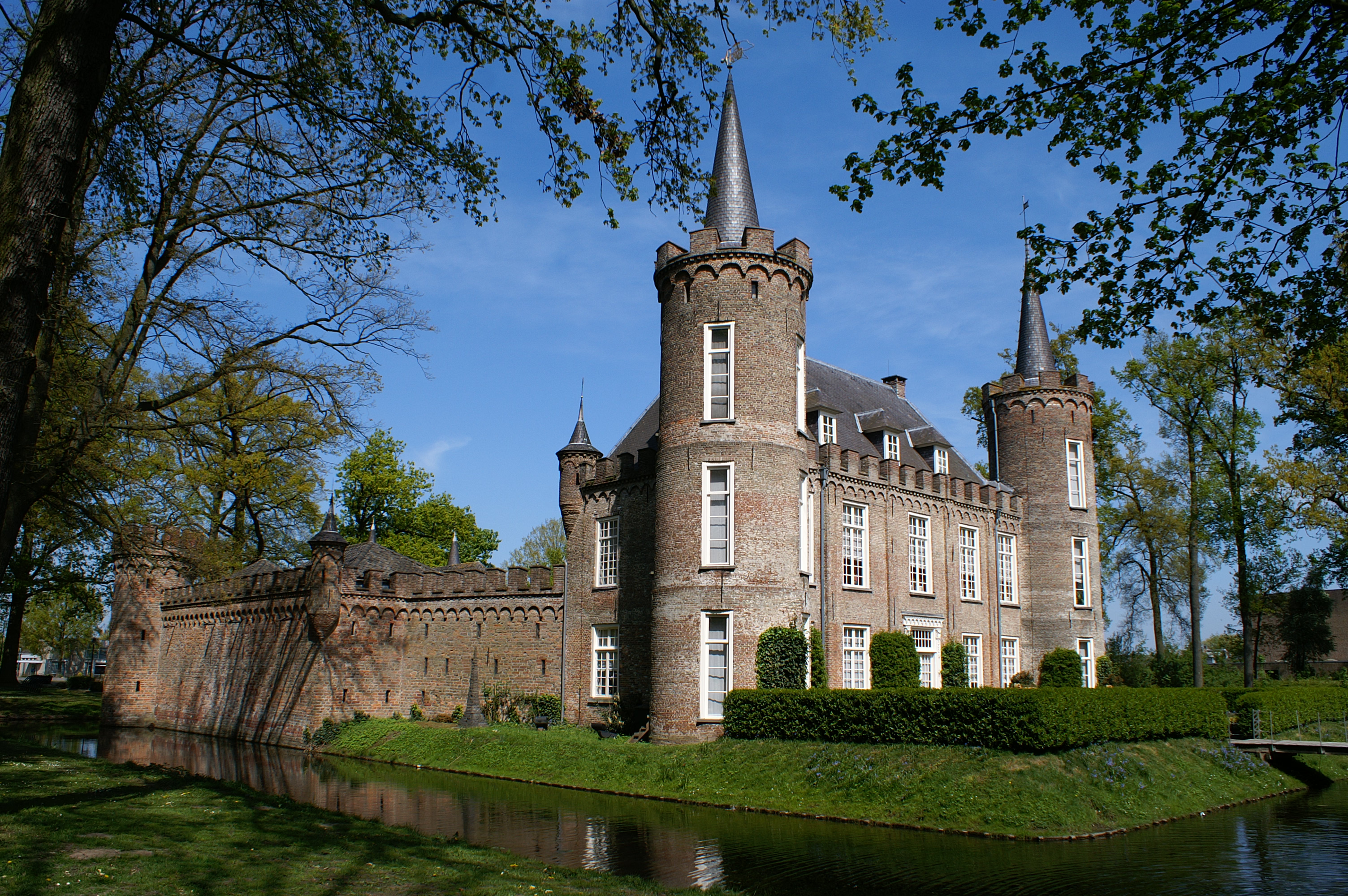
Henkenshage is a notable building located in the municipality of Meierijstad in the Netherlands. It is a former fortified farmhouse, known in the 14th century as a Strijpe or Streepe. The building, often mistaken for a castle, is not a real castle but rather a manor house.
- Category
- Forgotten History
- Location
- Son en Breugel, Netherlands
- Address
- Laan van Henkenshage 1, Son en Breugel
- Coordinates
- 51.55900, 5.45600
- How to get there
- Google MapsApple MapsOpenStreetMap
- Wikidata
- Q16892253
What is Henkenshage?
Henkenshage is a Forgotten History place on VeroMaps, on Laan van Henkenshage 1. Other places close by: Kasteel Dommelrode, Antonius van Paduakerk (Nijnsel), Koeveringse molen, Antonius Abtkerk.
Where is Henkenshage?
Henkenshage is in Son en Breugel, Netherlands. Coordinates: 51.55900, 5.45600.
How do I get to Henkenshage?
Henkenshage is at Laan van Henkenshage 1, Son en Breugel, Netherlands (51.55900, 5.45600). Enter these coordinates in Google Maps, Apple Maps or OpenStreetMap for walking, cycling or driving directions.