Forgotten History
Heimerstein
Rhenen, Netherlands
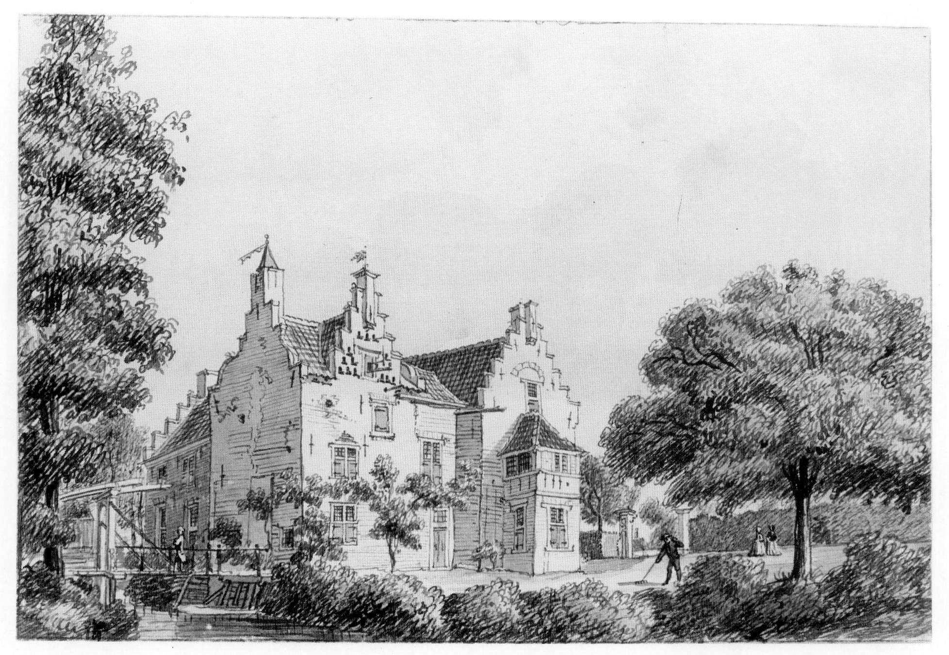
Heimerstein (also: Hamerstein, Hemerstein, Haymastein, Haaimastein) is a castle near Achterberg, municipality of Rhenen in Utrecht. In 1401, Bishop Frederik of Blankenheim granted knight Arend Willemsz. van Egmont with 'that house and homestead, heiden Hamersteyn, located at the house ter Horst mitter werff and as it is understood'. Drawings by Cornelis Pronk from 1731 and Jan de Beijer show a house with an L-shaped plan, which gives the impression of dating from the late 16th or early 17th century. There were two other castles in the vicinity of Heimerstein: Ter Horst Castle, an episcopal fief since the twelfth century, and Levendaal Castle, which was an episcopal fief from the fourteenth century.
- Category
- Forgotten History
- Location
- Rhenen, Netherlands
- Coordinates
- 51.95837, 5.60863
- How to get there
- Google MapsApple MapsOpenStreetMap
- Wikidata
- Q2119315
What is Heimerstein?
Heimerstein is a Forgotten History place on VeroMaps. Other places close by: Hoornwerk bij de Grebbesluis, Military War Cemetery Grebbeberg, Kasteel Levendaal, Ter Horst Castle.
Where is Heimerstein?
Heimerstein is in Rhenen, Netherlands. Coordinates: 51.95837, 5.60863.
How do I get to Heimerstein?
Heimerstein is at Rhenen, Netherlands (51.95837, 5.60863). Enter these coordinates in Google Maps, Apple Maps or OpenStreetMap for walking, cycling or driving directions.