Photo corners
Hatch Park
Smeeth, United Kingdom
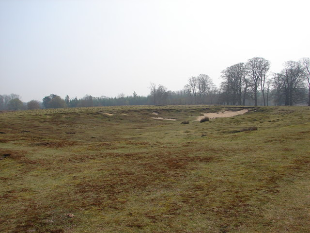
Hatch Park is a 71.8-hectare (177-acre) biological Site of Special Scientific Interest east of Ashford in Kent. It is listed by Historic England on the Register of Historic Parks and Gardens of Special Historic Interest in England. This site has species-rich acidic grassland which is the remnant of a larger deer park, and is still managed by a herd of deer. There are also ancient pollard woods which are the richest for epiphytic lichens in the county. Several ponds have adjacent areas of marsh. The site is private land which is not open to the public.
- Category
- Photo Spots
- Location
- Smeeth, United Kingdom
- Coordinates
- 51.13110, 0.94715
- How to get there
- Google MapsApple MapsOpenStreetMap
- Wikidata
- Q5681044
What is Hatch Park?
Hatch Park is a Photo Spots place on VeroMaps. Other places close by: Otterpool Quarry, Eastwell Park, Lympne Castle, Godinton House.
Where is Hatch Park?
Hatch Park is in Smeeth, United Kingdom. Coordinates: 51.13110, 0.94715.
How do I get to Hatch Park?
Hatch Park is at Smeeth, United Kingdom (51.13110, 0.94715). Enter these coordinates in Google Maps, Apple Maps or OpenStreetMap for walking, cycling or driving directions.