Forgotten History
Harslo
Bennekom, Netherlands
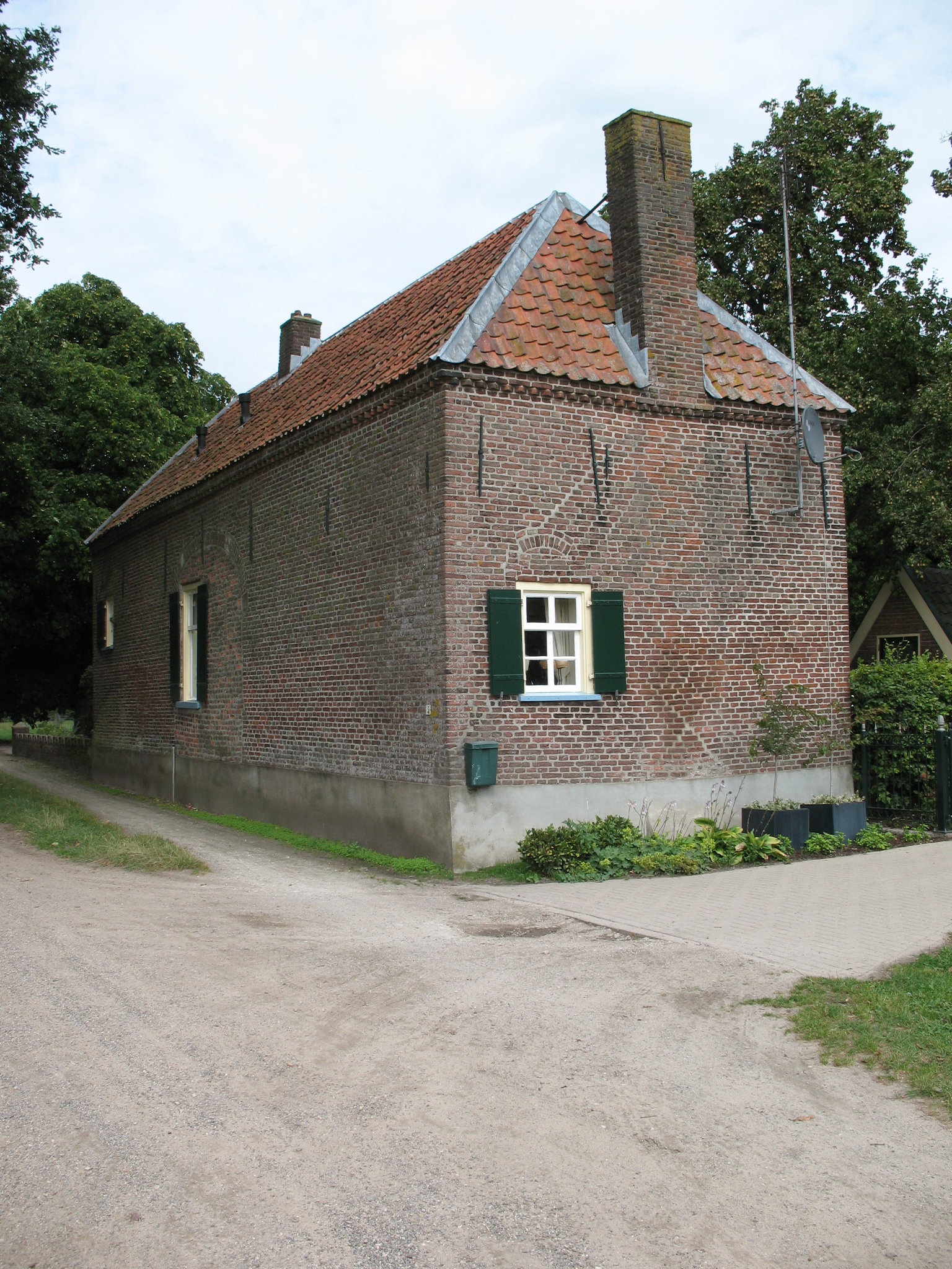
Harslo is a former castle west of Bennekom in the hamlet of De Kraats, in Gelderland. The oldest mention dates from 1388, when Henrik van Brienen transferred the property to Rutger van Renwic. From 1506 the castle was in the hands of the Toe Boecop family. Several members of this family were buried in the Oude Kerk of Bennekom.
- Category
- Forgotten History
- Location
- Bennekom, Netherlands
- Address
- Harsloweg 3, Bennekom
- Coordinates
- 52.00222, 5.62389
- How to get there
- Google MapsApple MapsOpenStreetMap
- Wikidata
- Q2155278
What is Harslo?
Harslo is a Forgotten History place on VeroMaps, on Harsloweg 3. Other places close by: Kerkelijk Centrum Emmaüs, De Zaaier, Oude Kerk of St Alexanderkerk, Bennekom, Bethelkerk.
Where is Harslo?
Harslo is in Bennekom, Netherlands. Coordinates: 52.00222, 5.62389.
How do I get to Harslo?
Harslo is at Harsloweg 3, Bennekom, Netherlands (52.00222, 5.62389). Enter these coordinates in Google Maps, Apple Maps or OpenStreetMap for walking, cycling or driving directions.