Photo corners
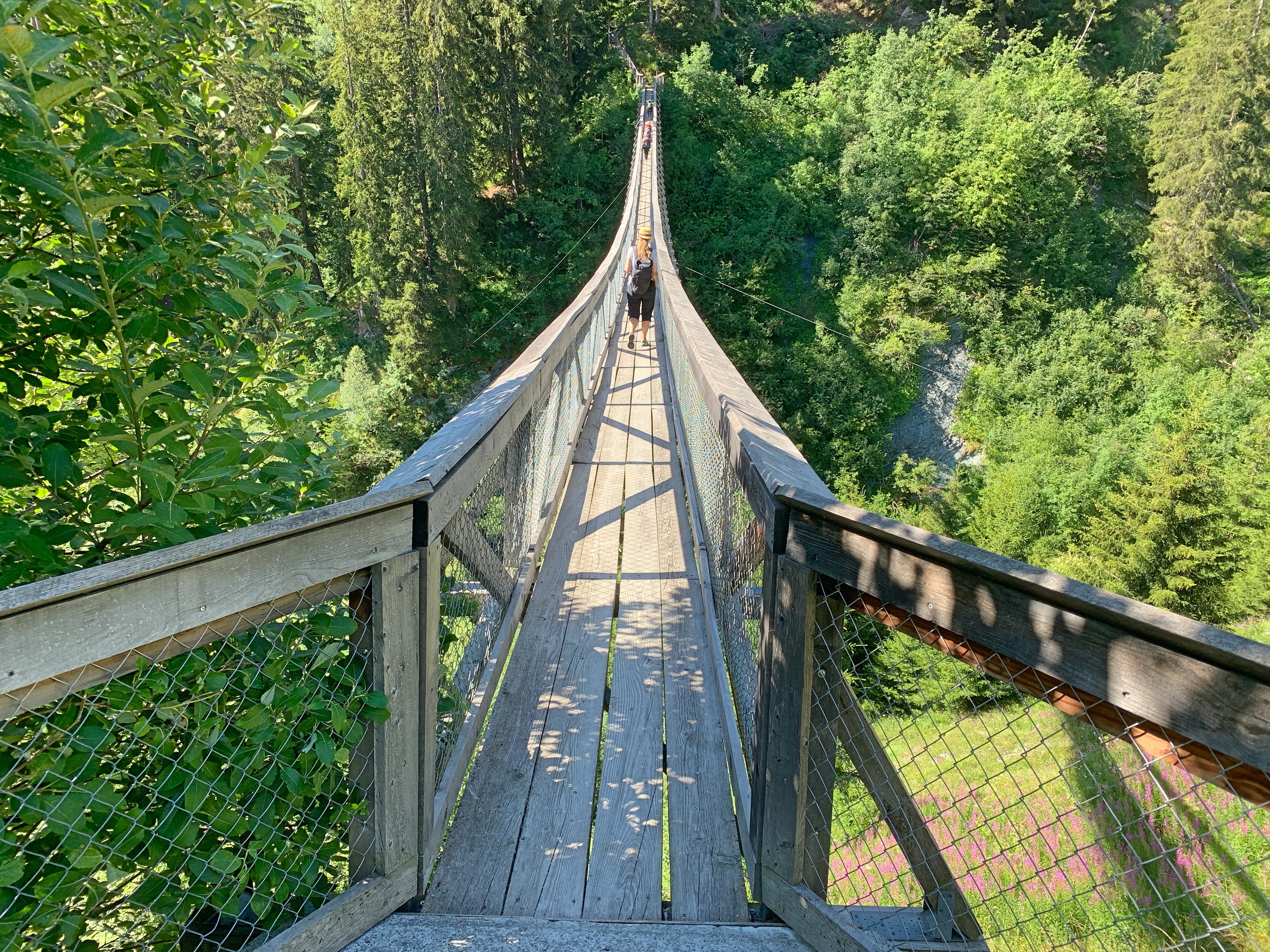
Hängebrücke Val Mutschnengia
Canton of the Grisons, Switzerland
Die Hängebrücke Val Mutschnengia überquert das Val Mutschnengia, ein Seitental des Val Medel in der Region Surselva im Kanton Graubünden in der Schweiz. Forstwartlehrlinge erstellten die Brücke, die Fussgängern vorbehalten ist, im Jahr 2011. Verwendet wurde Lärchenholz aus dem Val Medel. Die Brücke findet sich am Rand des Weilers Mutschnengia auf rund 1400 m ü. M. Sie ist 96 Meter lang und verläuft auf einer Höhe von 41 Metern über der Schlucht im Schieferstein. Die Brücke ist Teil des Bergwanderwegs von Disentis zum Lukmanierpass.
- Category
- Photo Spots
- Location
- Canton of the Grisons, Switzerland
- Coordinates
- 46.67049, 8.84514
- How to get there
- Google MapsApple MapsOpenStreetMap
- Wikidata
- Q116874827
What is Hängebrücke Val Mutschnengia?
Hängebrücke Val Mutschnengia is a Photo Spots place on VeroMaps. Other places close by: la pendenta, St. Agatha Chapel, Santa Maria Immaculata, Acletta, St. Luzius Chapel.
Where is Hängebrücke Val Mutschnengia?
Hängebrücke Val Mutschnengia is in Canton of the Grisons, Switzerland. Coordinates: 46.67049, 8.84514.
How do I get to Hängebrücke Val Mutschnengia?
Hängebrücke Val Mutschnengia is at Canton of the Grisons, Switzerland (46.67049, 8.84514). Enter these coordinates in Google Maps, Apple Maps or OpenStreetMap for walking, cycling or driving directions.