Forgotten History
Ham Fort
Krommenie, Netherlands
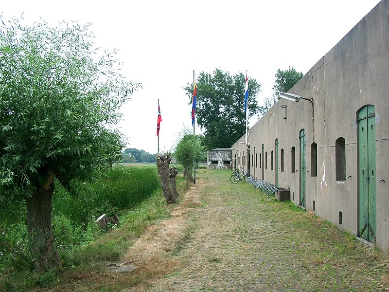
The Fort along Den Ham is a fort that is part of the UNESCO World Heritage site of the Stelling van Amsterdam. It's located along the railroad from Uitgeest to Krommenie. The earthen walls date from 1896, the fort itself was finished in 1903. The fort was only used very briefly, during the First World War.
- Category
- Forgotten History
- Location
- Krommenie, Netherlands
- Coordinates
- 52.50194, 4.73528
- How to get there
- Google MapsApple MapsOpenStreetMap
- Wikidata
- Q1888721
What is Ham Fort?
Ham Fort is a Forgotten History place on VeroMaps. Other places close by: Fort bij Krommeniedijk, Fort bij Veldhuis, De Corneliszoon, Onze-Lieve-Vrouw-Geboortekerk.
Where is Ham Fort?
Ham Fort is in Krommenie, Netherlands. Coordinates: 52.50194, 4.73528.
How do I get to Ham Fort?
Ham Fort is at Krommenie, Netherlands (52.50194, 4.73528). Enter these coordinates in Google Maps, Apple Maps or OpenStreetMap for walking, cycling or driving directions.