Photo corners
Hallands Väderö
Båstad Municipality, Sweden
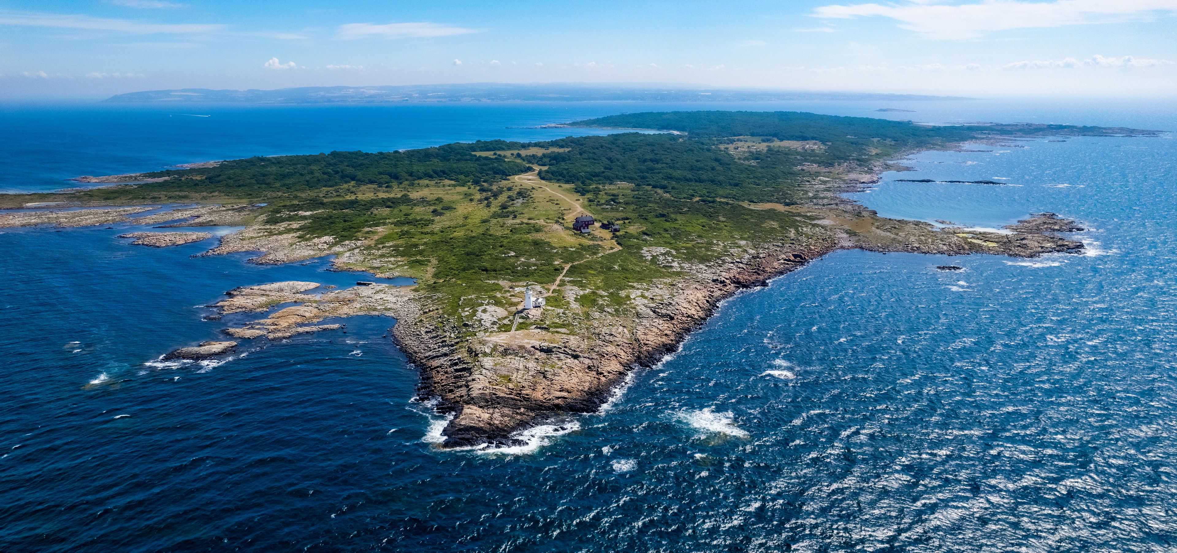
Hallands Väderö (på dansk: Hallands Vejrø; Halland + vejr + ø ) er ø i Kattegat, der trods navnet ikke hører til Halland, men til Skåne. Øen ligger vest for Torekov i det nordvestlige Skåne, i forlængelse af Hallandsåsen og tilhører Båstads/Baadsted kommune.
- Category
- Photo Spots
- Location
- Båstad Municipality, Sweden
- Coordinates
- 56.44082, 12.56728
- How to get there
- Google MapsApple MapsOpenStreetMap
- Wikidata
- Q175812
What is Hallands Väderö?
Hallands Väderö is a Photo Spots place on VeroMaps. Other places close by: Dagshög, Grevie åsar, Kullen lighthouse, Krapperup Castle.
Where is Hallands Väderö?
Hallands Väderö is in Båstad Municipality, Sweden. Coordinates: 56.44082, 12.56728.
How do I get to Hallands Väderö?
Hallands Väderö is at Båstad Municipality, Sweden (56.44082, 12.56728). Enter these coordinates in Google Maps, Apple Maps or OpenStreetMap for walking, cycling or driving directions.