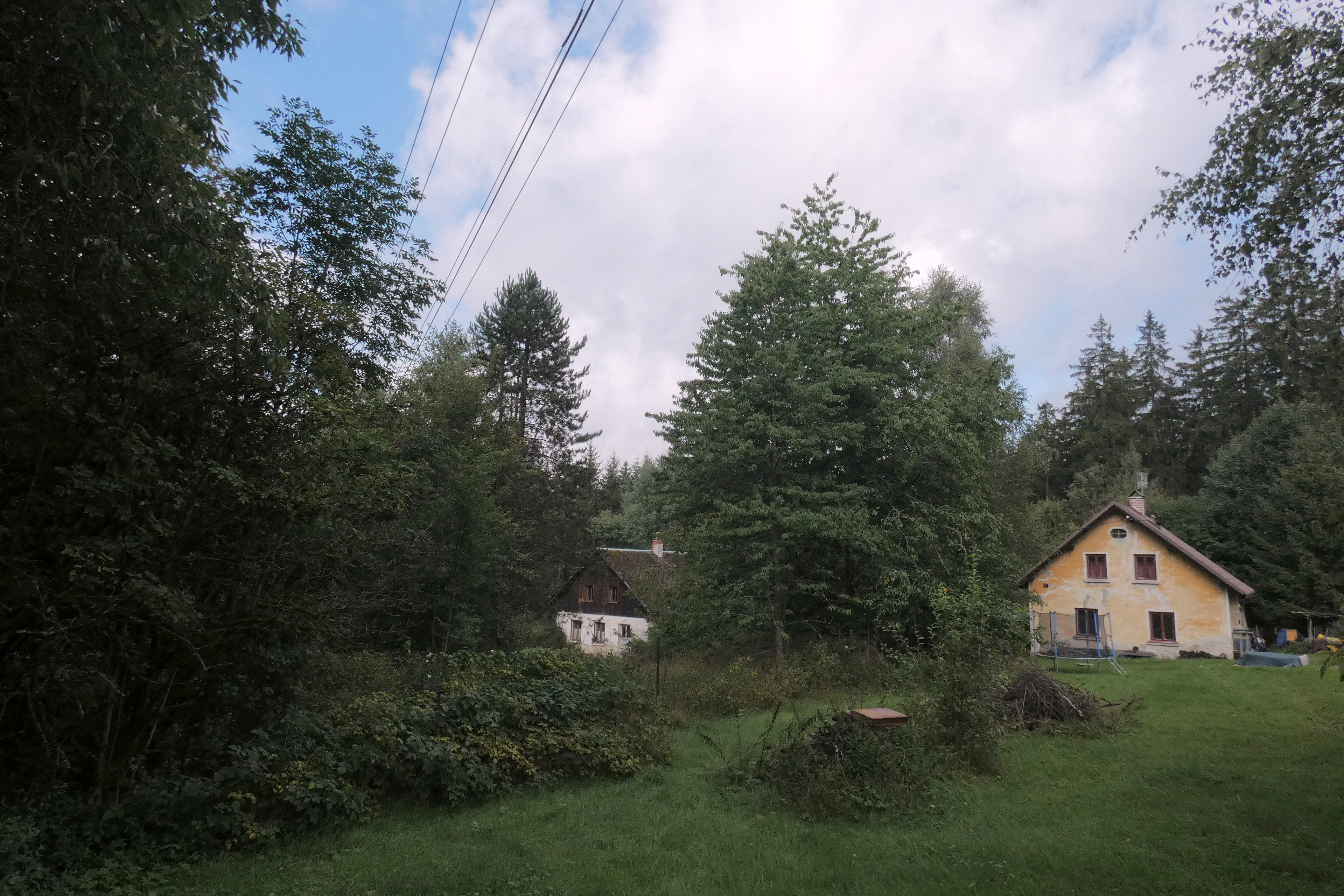
Urbex & Abandoned
Háje
Lesná, Czech Republic
Háje, bis 1948 Leierwinkel, ist ein Ortsteil der Gemeinde Lesná (Schönwald) in Tschechien. Die weitgehend erloschene Siedlung liegt viereinhalb Kilometer nordöstlich von Georgenberg nahe der deutschen Landesgrenze und gehört zum Okres Tachov.
- Category
- Urbex & Abandoned
- Location
- Lesná, Czech Republic
- Coordinates
- 49.71500, 12.47580
- How to get there
- Google MapsApple MapsOpenStreetMap
- Wikidata
- Q12021196
What is Háje?
Háje is a Urbex & Abandoned place on VeroMaps. Other places close by: Jedlina, Stoupa, Zahájí, Hraničky.
Where is Háje?
Háje is in Lesná, Czech Republic. Coordinates: 49.71500, 12.47580.
How do I get to Háje?
Háje is at Lesná, Czech Republic (49.71500, 12.47580). Enter these coordinates in Google Maps, Apple Maps or OpenStreetMap for walking, cycling or driving directions.