Photo corners
Hackerbrücke
Munich, Germany
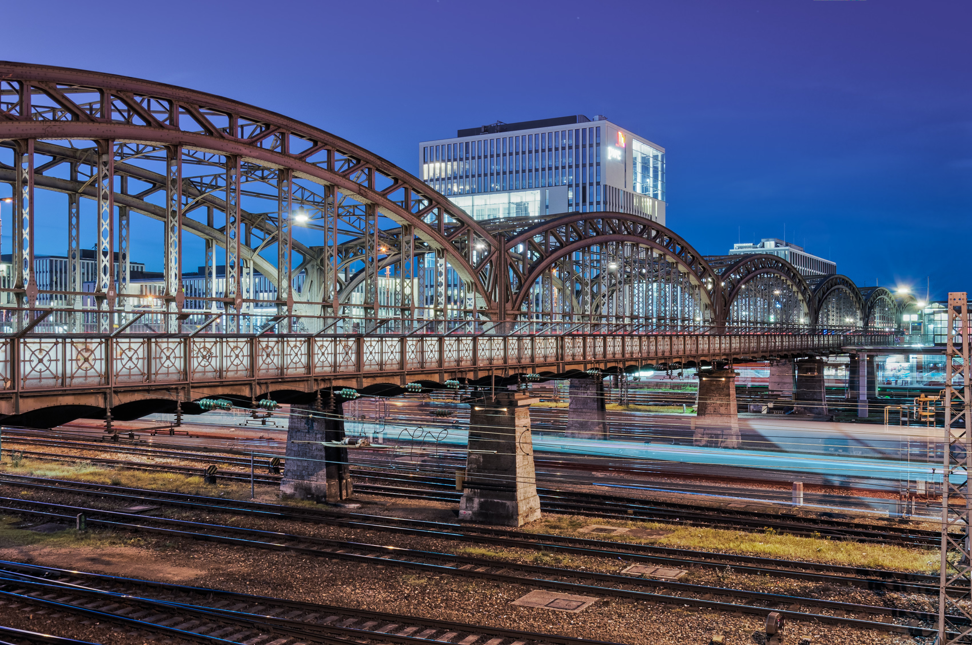
The Hackerbrücke (Hacker Bridge) is a road bridge across the main railway line in Munich immediately west of the city's central station. The name comes from the brewery Hacker-Pschorr, which was previously headquartered near the bridge. The first bridge was built at the beginning of the 1870s. In 1890-94 this was replaced by a new bridge, constructed by the Maschinenfabrik Augsburg-Nürnberg ("Augsburg-Nuremberg machine factory"). It was partially destroyed during the second world war and restored in 1952–3. Six iron arches, 28.8 metres wide and eight metres high, carry the road; pairs of stone pillars support the arches. The bridge gives its name to the S-Bahn station Hackerbrücke, which is beneath the bridge and can only be accessed from it.
- Category
- Photo Spots
- Location
- Munich, Germany
- Coordinates
- 48.14177, 11.54849
- How to get there
- Google MapsApple MapsOpenStreetMap
- Wikidata
- Q881386
What is Hackerbrücke?
Hackerbrücke is a Photo Spots place on VeroMaps. Other places close by: Fernmeldeturm der Oberpostdirektion München, The Charles Hotel, Harry Klein, MMA Club.
Where is Hackerbrücke?
Hackerbrücke is in Munich, Germany. Coordinates: 48.14177, 11.54849.
How do I get to Hackerbrücke?
Hackerbrücke is at Munich, Germany (48.14177, 11.54849). Enter these coordinates in Google Maps, Apple Maps or OpenStreetMap for walking, cycling or driving directions.