Photo corners
Guadeloupe National Park
Saint-Claude, France
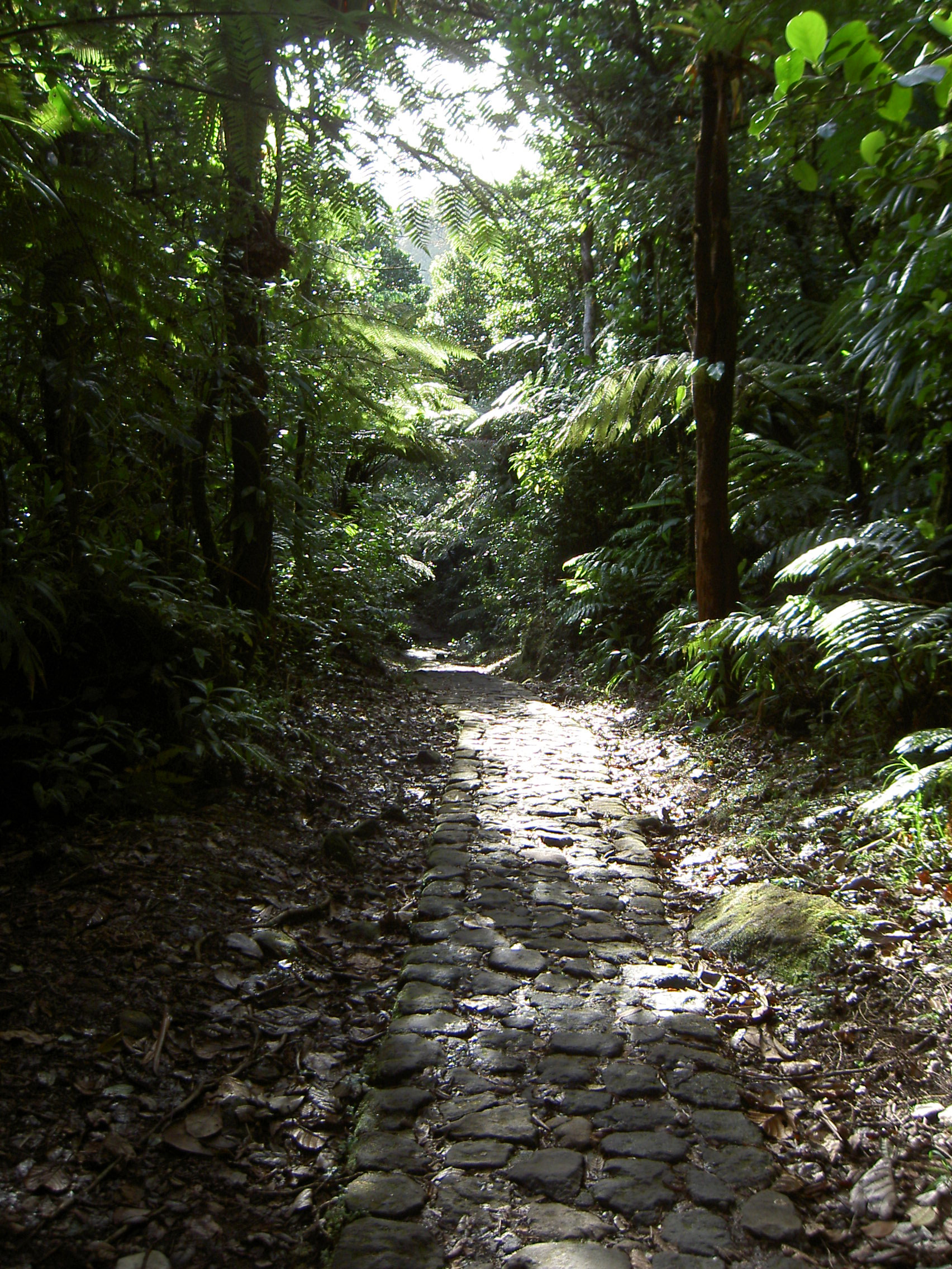
Guadeloupe National Park (French: Parc national de la Guadeloupe) is a national park in Guadeloupe, an overseas department of France located in the Leeward Islands of the eastern Caribbean region. The Grand Cul-de-Sac Marin Nature Reserve (French: Réserve Naturelle du Grand Cul-de-Sac Marin) is a marine protected area adjacent to the park and administered in conjunction with it. Together, these protected areas comprise the Guadeloupe Archipelago (French: l'Archipel de la Guadeloupe) biosphere reserve.
- Category
- Photo Spots
- Location
- Saint-Claude, France
- Coordinates
- 16.08333, -61.68333
- How to get there
- Google MapsApple MapsOpenStreetMap
- Wikidata
- Q1028479
What is Guadeloupe National Park?
Guadeloupe National Park is a Photo Spots place on VeroMaps. Other places close by: Indigoterie de l'Anse à la Barque, phare de l'Anse à la Barque, phare de l'Îlet du Gosier, Jardin exotique du Fort Napoléon.
Where is Guadeloupe National Park?
Guadeloupe National Park is in Saint-Claude, France. Coordinates: 16.08333, -61.68333.
How do I get to Guadeloupe National Park?
Guadeloupe National Park is at Saint-Claude, France (16.08333, -61.68333). Enter these coordinates in Google Maps, Apple Maps or OpenStreetMap for walking, cycling or driving directions.