Urbex & Abandoned
Grube David
Odenthal, Germany
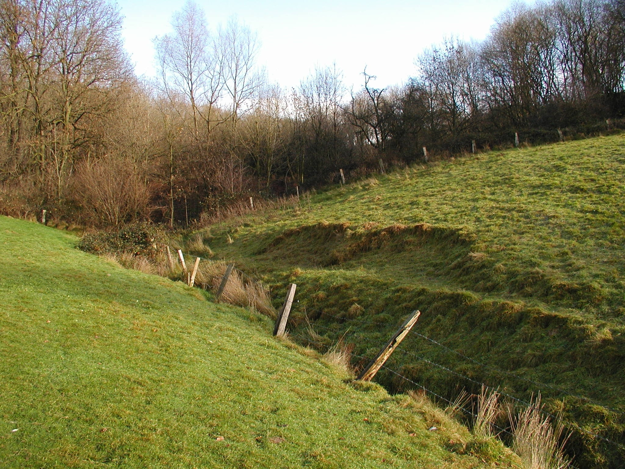
Die Grube David ist eine ehemalige Eisen-Grube des Bensberger Erzreviers in Bergisch Gladbach. Das Gelände gehört zum Stadtteil Romaney. Das Grubenfeld wurde am 11. Januar 1869 auf Eisen verliehen und befand sich in jüdischem Eigentum.
- Category
- Urbex & Abandoned
- Location
- Odenthal, Germany
- Coordinates
- 51.00980, 7.15768
- How to get there
- Google MapsApple MapsOpenStreetMap
- Wikidata
- Q1379133
What is Grube David?
Grube David is a Urbex & Abandoned place on VeroMaps. Other places close by: Grube Albert, Grube Prinz Wilhelm, Grube Nebo, Burg Zweiffel.
Where is Grube David?
Grube David is in Odenthal, Germany. Coordinates: 51.00980, 7.15768.
How do I get to Grube David?
Grube David is at Odenthal, Germany (51.00980, 7.15768). Enter these coordinates in Google Maps, Apple Maps or OpenStreetMap for walking, cycling or driving directions.