Urbex & Abandoned
Grube Copernicus
Rösrath, Germany
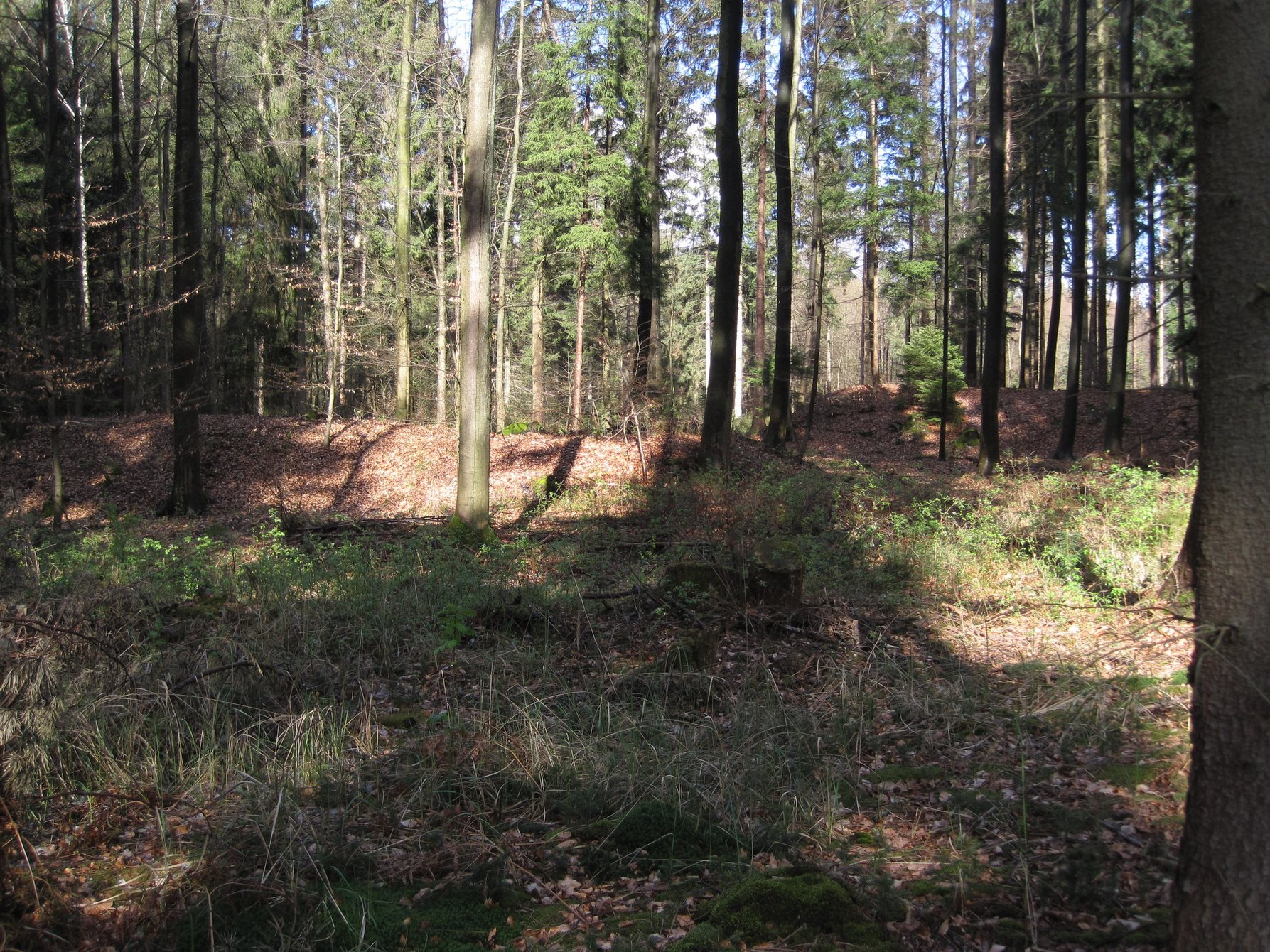
Die Grube Copernicus war eine Buntmetallerz-Grube des Bensberger Erzreviers in Köln im Ortsteil Köln-Rath/Heumar. Das Grubenfeld Copernicus erstreckte sich im Königsforst in einem Hochwald in der Nähe des Rennwegs.
- Category
- Urbex & Abandoned
- Location
- Rösrath, Germany
- Coordinates
- 50.93820, 7.12746
- How to get there
- Google MapsApple MapsOpenStreetMap
- Wikidata
- Q1549900
What is Grube Copernicus?
Grube Copernicus is a Urbex & Abandoned place on VeroMaps. Other places close by: Grube Consolidierte Catharina II, Grube Galilei, Grube Vereinigtes Glückauf, Grube Julien.
Where is Grube Copernicus?
Grube Copernicus is in Rösrath, Germany. Coordinates: 50.93820, 7.12746.
How do I get to Grube Copernicus?
Grube Copernicus is at Rösrath, Germany (50.93820, 7.12746). Enter these coordinates in Google Maps, Apple Maps or OpenStreetMap for walking, cycling or driving directions.