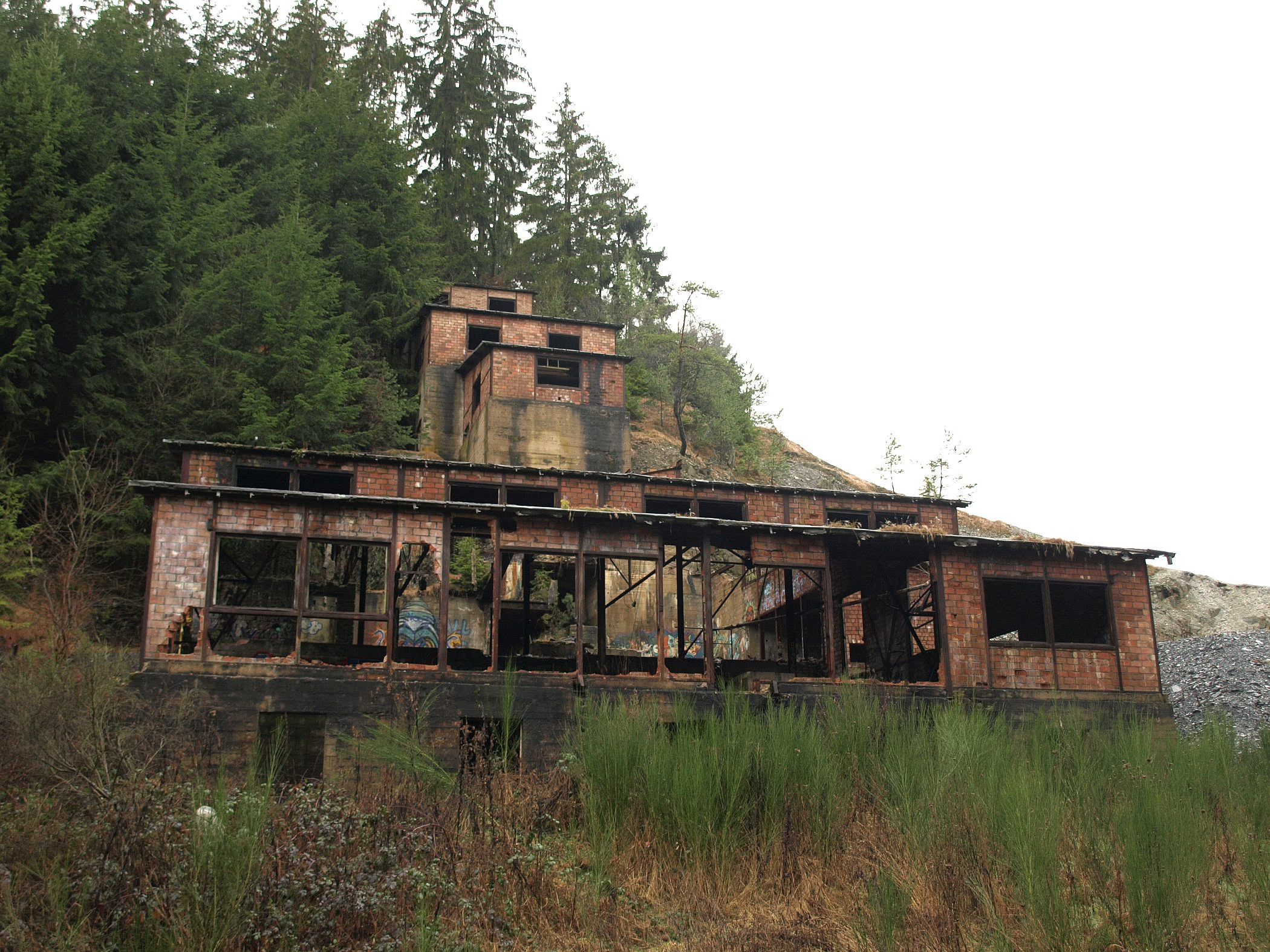
Urbex & Abandoned
Grube Adolph-Helene
Peterswald-Loffelscheid, Germany
Die Grube Adolph-Helene, auch Adolf-Helene, ist ein stillgelegtes Erzbergwerk im Altlayer Bachtal nördlich von Altlay im rheinland-pfälzischen Hunsrück.
- Category
- Urbex & Abandoned
- Location
- Peterswald-Loffelscheid, Germany
- Coordinates
- 49.99460, 7.28547
- How to get there
- Google MapsApple MapsOpenStreetMap
- Wikidata
- Q1549843
What is Grube Adolph-Helene?
Grube Adolph-Helene is a Urbex & Abandoned place on VeroMaps. Other places close by: Burg Dill, Burg Balduinseck, Starkenburg, Marienburg.
Where is Grube Adolph-Helene?
Grube Adolph-Helene is in Peterswald-Loffelscheid, Germany. Coordinates: 49.99460, 7.28547.
How do I get to Grube Adolph-Helene?
Grube Adolph-Helene is at Peterswald-Loffelscheid, Germany (49.99460, 7.28547). Enter these coordinates in Google Maps, Apple Maps or OpenStreetMap for walking, cycling or driving directions.