Photo corners
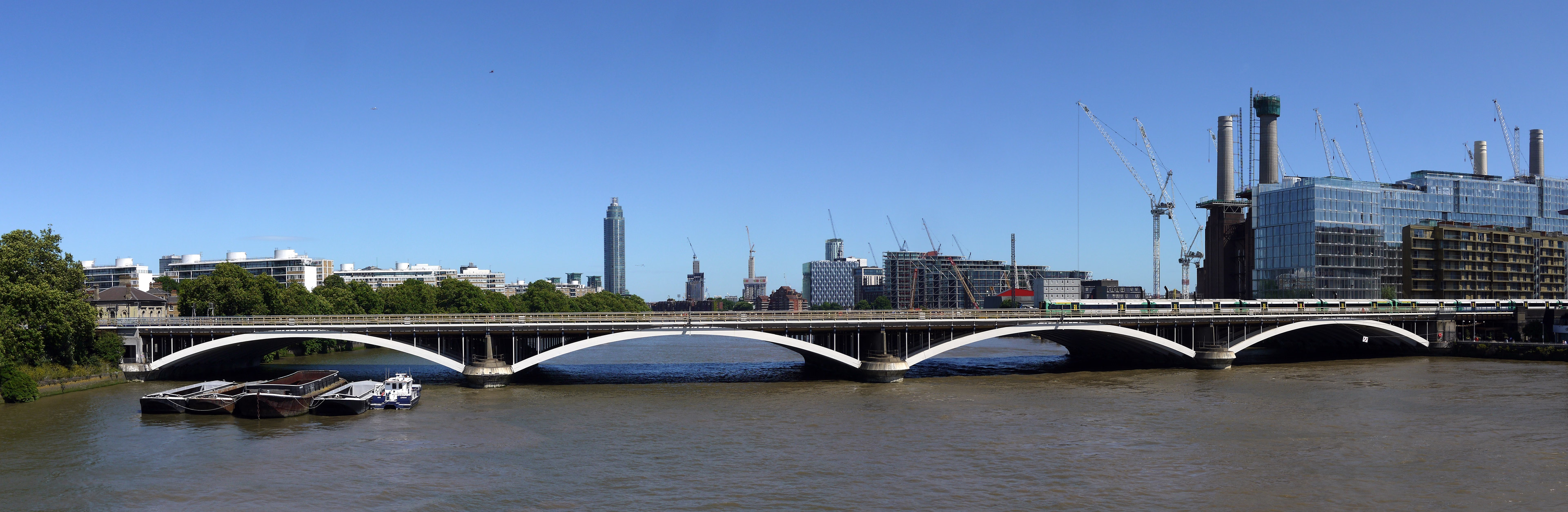
Grosvenor Bridge
London, United Kingdom
Grosvenor Bridge, originally known as, and alternatively called Victoria Railway Bridge, is a railway bridge over the River Thames in London, between Vauxhall Bridge and Chelsea Bridge. Originally constructed in 1860, and widened in 1865 and 1907, the bridge was extensively rebuilt and widened again in the 1960s as an array of ten parallel bridges. There are now nine tracks across the bridge.
- Category
- Photo Spots
- Location
- London, United Kingdom
- Coordinates
- 51.48472, -0.14750
- How to get there
- Google MapsApple MapsOpenStreetMap
- Wikidata
- Q693731
What is Grosvenor Bridge?
Grosvenor Bridge is a Photo Spots place on VeroMaps. Other places close by: Denbigh Arms, The Mason's Arms, Maze Grill Royal Hospital Road, Restaurant Gordon Ramsay.
Where is Grosvenor Bridge?
Grosvenor Bridge is in London, United Kingdom. Coordinates: 51.48472, -0.14750.
How do I get to Grosvenor Bridge?
Grosvenor Bridge is at London, United Kingdom (51.48472, -0.14750). Enter these coordinates in Google Maps, Apple Maps or OpenStreetMap for walking, cycling or driving directions.