Photo corners
Grogarnsberget
Region Gotland, Sweden
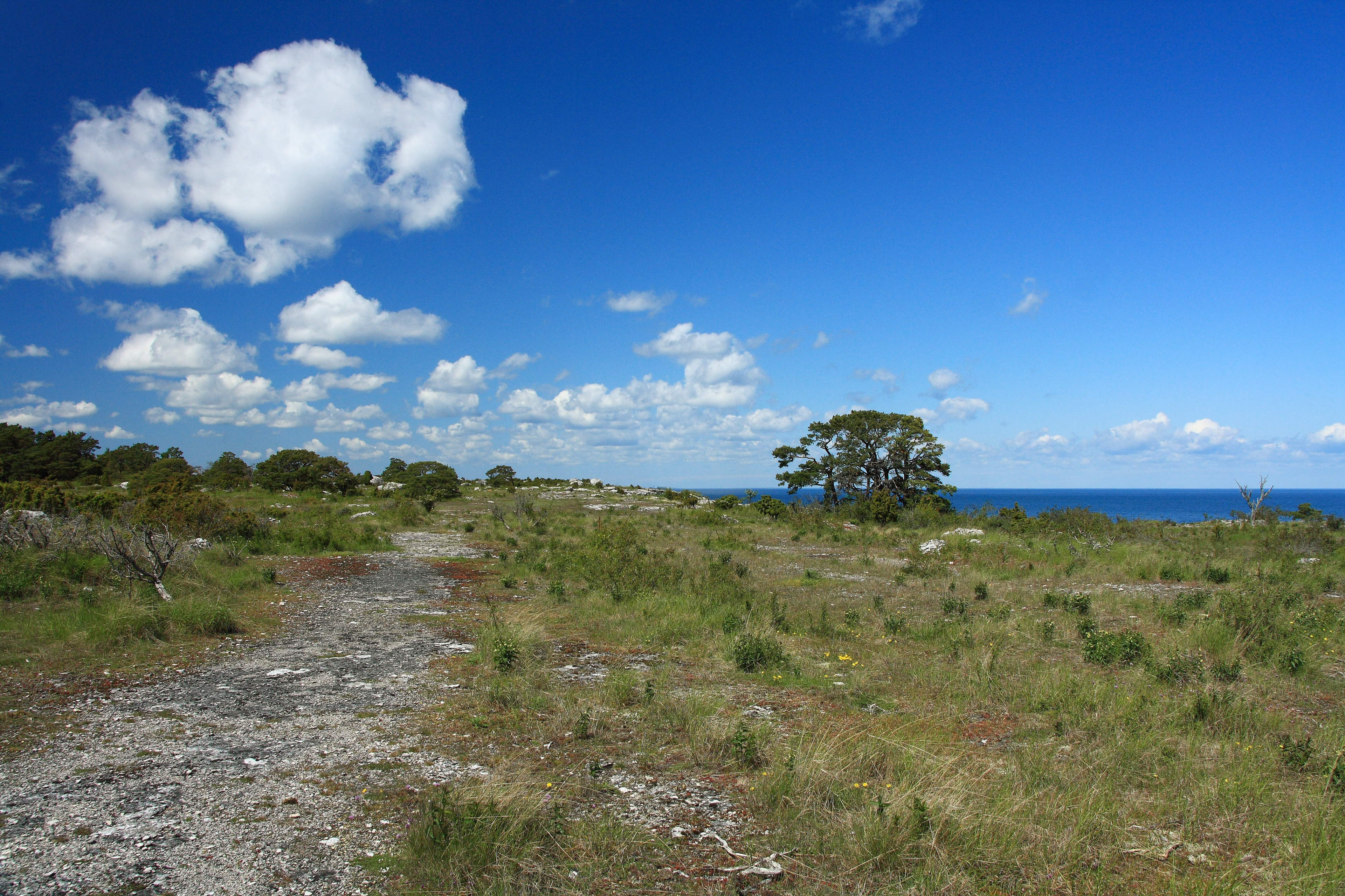
Grogarnsberget or Grogarnsberg (lit. "The Grogarn Mountain" more appropriate "Grogarn Hill") is a plateau hill on the Östergarn coast, on the Swedish island of Gotland. On the hill are the remains of former hillfort, the second largest on Gotland and the fourth largest in Scandinavia.
- Category
- Photo Spots
- Location
- Region Gotland, Sweden
- Coordinates
- 57.43120, 18.89177
- How to get there
- Google MapsApple MapsOpenStreetMap
- Wikidata
- Q1547243
What is Grogarnsberget?
Grogarnsberget is a Photo Spots place on VeroMaps. Other places close by: Östergarnsberget, Sandviken nature reserve, Östergarn old lighthouse, Torsburgen.
Where is Grogarnsberget?
Grogarnsberget is in Region Gotland, Sweden. Coordinates: 57.43120, 18.89177.
How do I get to Grogarnsberget?
Grogarnsberget is at Region Gotland, Sweden (57.43120, 18.89177). Enter these coordinates in Google Maps, Apple Maps or OpenStreetMap for walking, cycling or driving directions.