Urbex & Abandoned
Groeve Pruus Karel III
Valkenburg aan de Geul, Netherlands
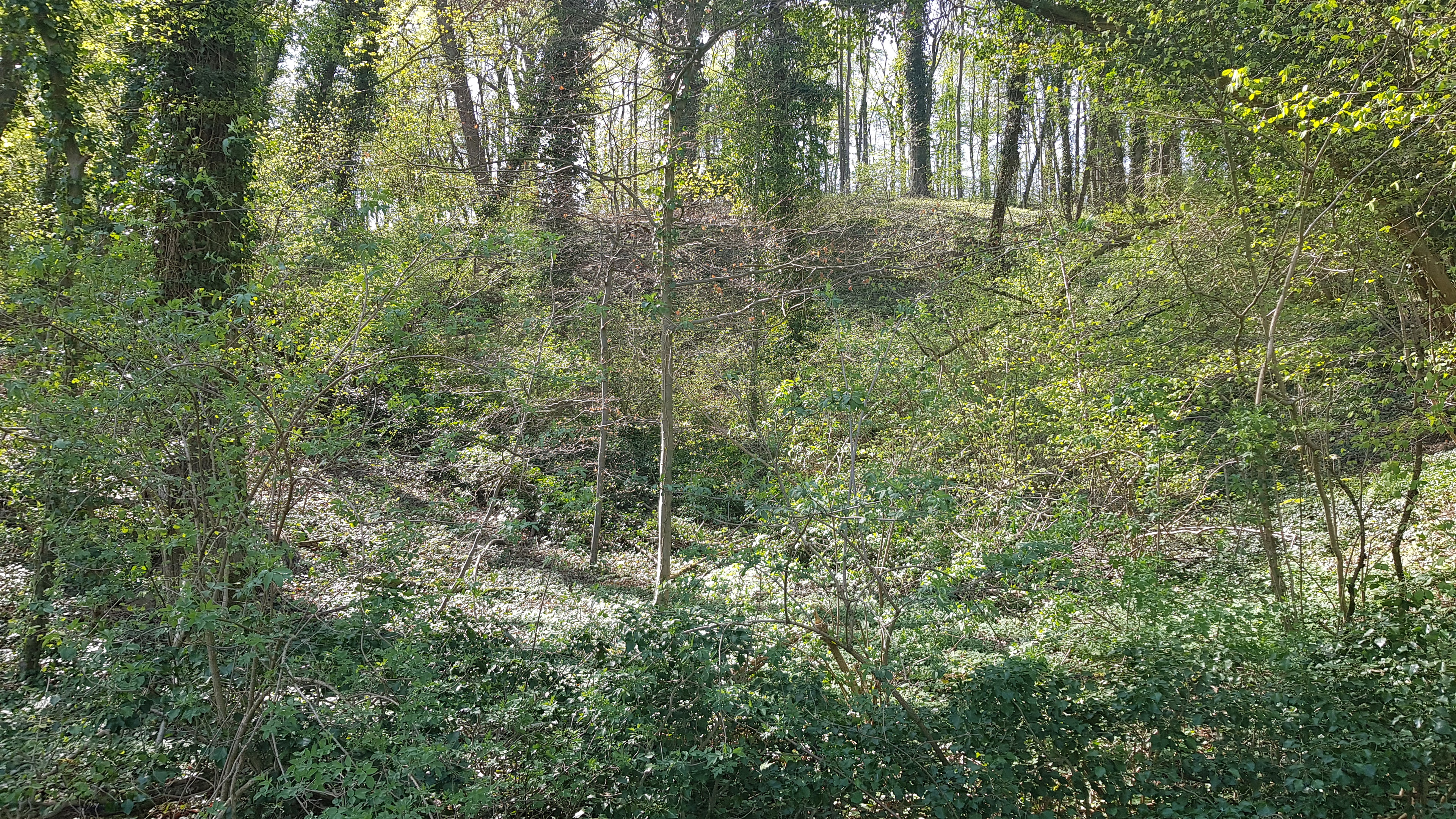
De Groeve Pruus Karel III is een Limburgse mergelgroeve in de Nederlandse gemeente Valkenburg aan de Geul in Zuid-Limburg. De ondergrondse groeve ligt ten zuidoosten van Valkenburg in het noordoostelijk deel van het hellingbos Biebosch op de noordoostelijke rand van het Plateau van Margraten in de overgang naar het Geuldal. Ter plaatse duikt het plateau een aantal meter steil naar beneden. Op ongeveer 70 meter naar het zuidoosten ligt de Groeve Pruus Karel I en op ongeveer 90 meter naar het noordwesten de Groeve Pruus Karel II.
- Category
- Urbex & Abandoned
- Location
- Valkenburg aan de Geul, Netherlands
- Coordinates
- 50.85106, 5.84294
- How to get there
- Google MapsApple MapsOpenStreetMap
- Wikidata
- Q90442221
What is Groeve Pruus Karel III?
Groeve Pruus Karel III is a Urbex & Abandoned place on VeroMaps. Other places close by: Groeve Pruus Karel I, Groeve Pruus Karel II, Sint-Jansboschgroeve I, Sint-Jansboschgroeve II.
Where is Groeve Pruus Karel III?
Groeve Pruus Karel III is in Valkenburg aan de Geul, Netherlands. Coordinates: 50.85106, 5.84294.
How do I get to Groeve Pruus Karel III?
Groeve Pruus Karel III is at Valkenburg aan de Geul, Netherlands (50.85106, 5.84294). Enter these coordinates in Google Maps, Apple Maps or OpenStreetMap for walking, cycling or driving directions.