Urbex & Abandoned
Groeve Keutenberg
Valkenburg aan de Geul, Netherlands
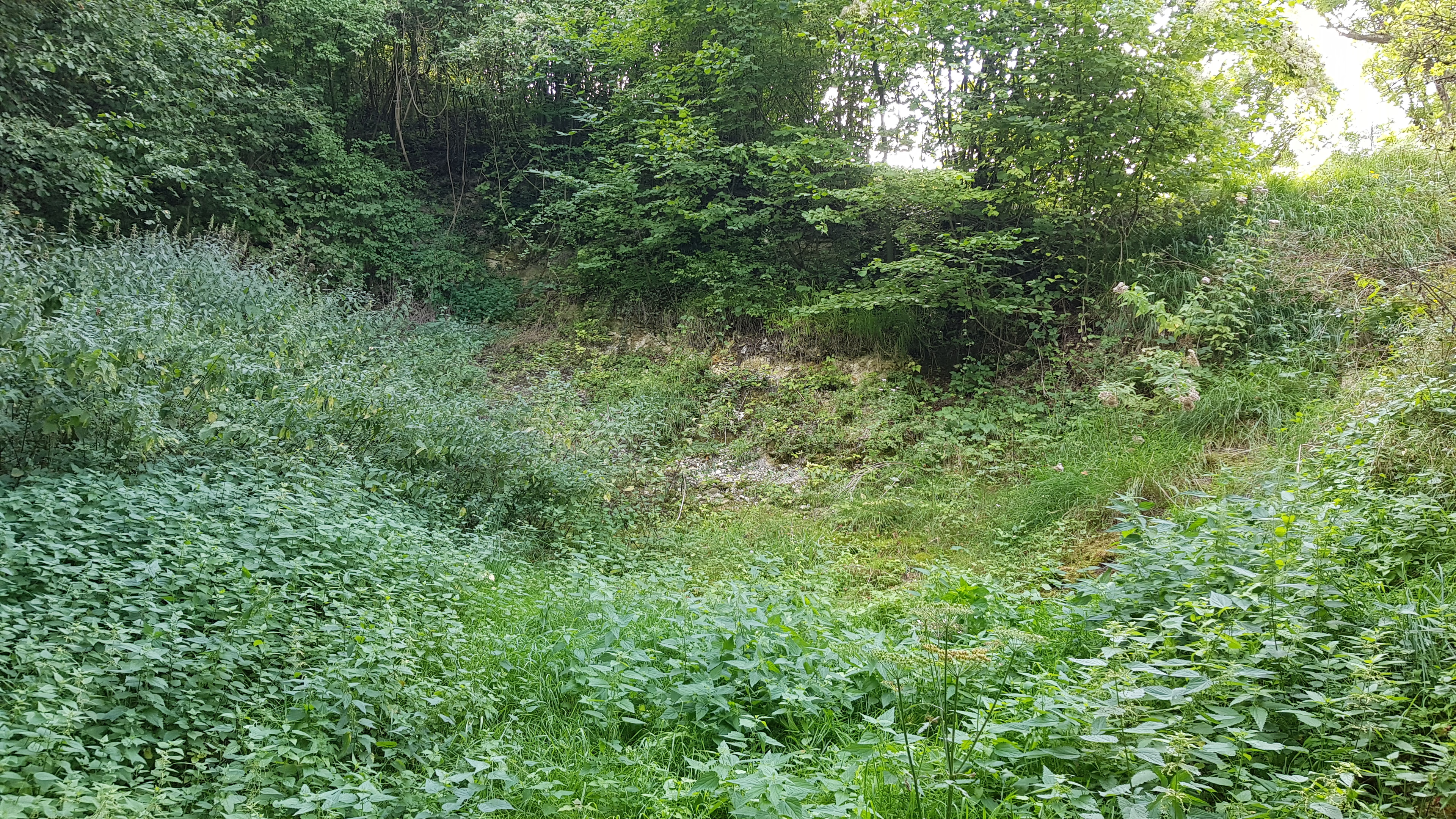
De Groeve Keutenberg is een Limburgse mergelgroeve en geologisch monument in Nederlands Zuid-Limburg in de gemeente Valkenburg aan de Geul. De dagbouwgroeve ligt bij buurtschap Engwegen ten zuidoosten van Schin op Geul aan de voet van de Keutenberg. Op ongeveer 50 meter naar het oosten stroomt de Geul. De groeve ligt op de zuidelijke dalwand van het Geuldal op de noordoostelijke rand van het Plateau van Margraten. Op ongeveer 150 meter naar het westen ligt de Sousberg.
- Category
- Urbex & Abandoned
- Location
- Valkenburg aan de Geul, Netherlands
- Coordinates
- 50.84641, 5.87419
- How to get there
- Google MapsApple MapsOpenStreetMap
- Wikidata
- Q69814078
What is Groeve Keutenberg?
Groeve Keutenberg is a Urbex & Abandoned place on VeroMaps. Other places close by: Groeve onder de Keutenberg, Mariakapel, Mariakapel, Castle Genhoes.
Where is Groeve Keutenberg?
Groeve Keutenberg is in Valkenburg aan de Geul, Netherlands. Coordinates: 50.84641, 5.87419.
How do I get to Groeve Keutenberg?
Groeve Keutenberg is at Valkenburg aan de Geul, Netherlands (50.84641, 5.87419). Enter these coordinates in Google Maps, Apple Maps or OpenStreetMap for walking, cycling or driving directions.