Forgotten History
Groenestein
Wijk bij Duurstede, Netherlands
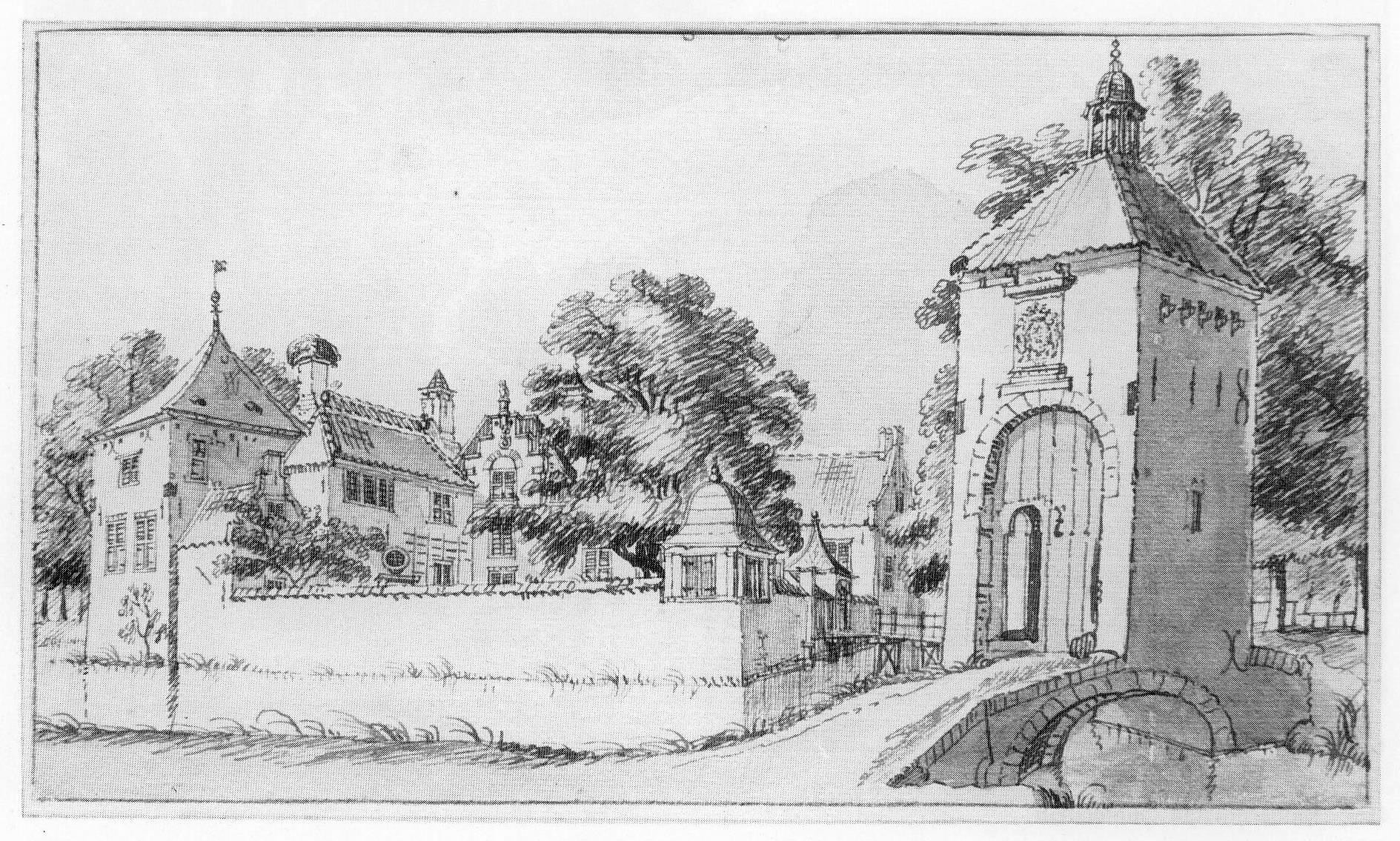
Groenestein is a former castle and knight's court town near Langbroek, municipality of Wijk bij Duurstede in Utrecht. The castle was probably built between 1377 and 1414 by Willem de Ridder van Groenestein, a knight who fought in the Arkelse Wars in the retinue of Bishop Frederik van Blankenheim in 1405. Groenestein consisted of a building complex on a moated square site, accessible on the east side via a drawbridge. It contained a separate moated forecourt.
- Category
- Forgotten History
- Location
- Wijk bij Duurstede, Netherlands
- Address
- Langbroekerdijk A 16, Wijk bij Duurstede
- Coordinates
- 52.00334, 5.34787
- How to get there
- Google MapsApple MapsOpenStreetMap
- Wikidata
- Q2135656
What is Groenestein?
Groenestein is a Forgotten History place on VeroMaps, on Langbroekerdijk A 16. Other places close by: Sandenburg Castle, Walenburg, Langbroek, De Roetert, Kasteel Lunenburg.
Where is Groenestein?
Groenestein is in Wijk bij Duurstede, Netherlands. Coordinates: 52.00334, 5.34787.
How do I get to Groenestein?
Groenestein is at Langbroekerdijk A 16, Wijk bij Duurstede, Netherlands (52.00334, 5.34787). Enter these coordinates in Google Maps, Apple Maps or OpenStreetMap for walking, cycling or driving directions.