Local Legends
Gräberfeld von Hol
Vårgårda Municipality, Sweden
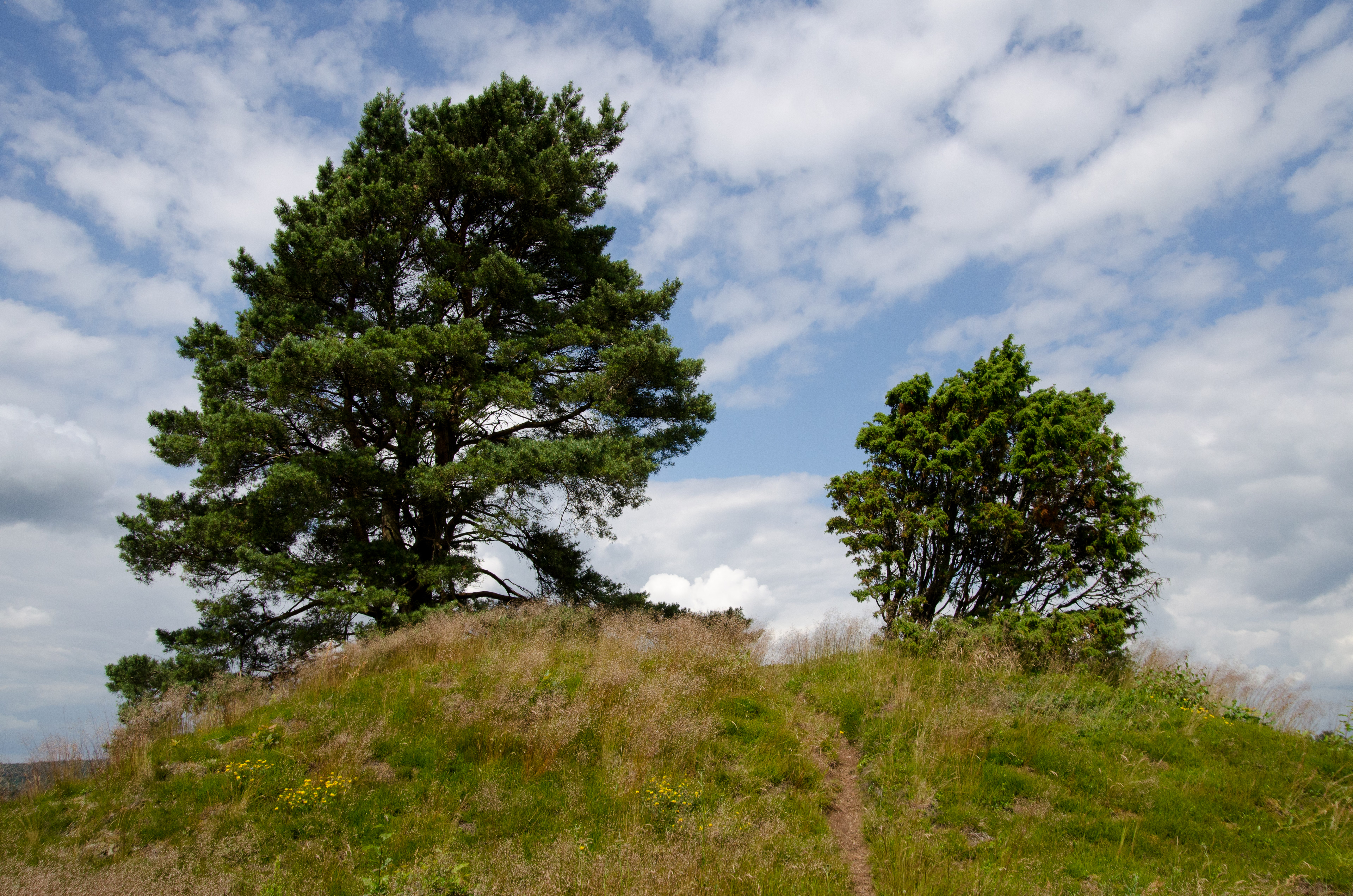
Das Gräberfeld von Hol im Sävedalen bei Vårgårda in Västra Götaland in Schweden liegt nördlich von Hol und stammt aus der Eisenzeit (500 v. Chr. bis 650 n. Chr.). Hol heißt auch eine Kommune im Fylke Buskerud in Norwegen. Es besteht aus etwa 140 Relikten. Darunter sind ein Domarring (RAÄ-Nr. Hol 5:1) von etwa 15 m Durchmesser mit neun Steinen und einem etwa 2,0 m hohen Bautastein, ein zweiter Bautastein, sowie viele kleine und zwei größere Grabhügel auf einer Fläche von 7 bis 8 Hektar. Im Süden ist die Höhe durch Kiesabbau erodiert. Auf dem Hügel „Hols gärde“ befindet sich eine Konzentration von 135 gewölbten und mit Ringgräben versehenen kleinen Grabhügeln. Mit Ausnahme des Storehög mit etwa 18,0 m Durchmesser und 2,5 m Höhe, der sich auf dem Kamm befindet, liegen die meisten im lichten Wald. Ein paar 100 Meter südlich befinden sich in und an der Kirche zwei Runensteine.
- Category
- Local Legends
- Location
- Vårgårda Municipality, Sweden
- Coordinates
- 57.98097, 12.66038
- How to get there
- Google MapsApple MapsOpenStreetMap
- Wikidata
- Q29548694
What is Gräberfeld von Hol?
Gräberfeld von Hol is a Local Legends place on VeroMaps. Other places close by: Trollhättan Water Tower, Bohus Fortress, Sundholmen Castle, Trollhättan Assembly.
Where is Gräberfeld von Hol?
Gräberfeld von Hol is in Vårgårda Municipality, Sweden. Coordinates: 57.98097, 12.66038.
How do I get to Gräberfeld von Hol?
Gräberfeld von Hol is at Vårgårda Municipality, Sweden (57.98097, 12.66038). Enter these coordinates in Google Maps, Apple Maps or OpenStreetMap for walking, cycling or driving directions.