Local Legends
Gournier Cave
Pont-en-Royans, France
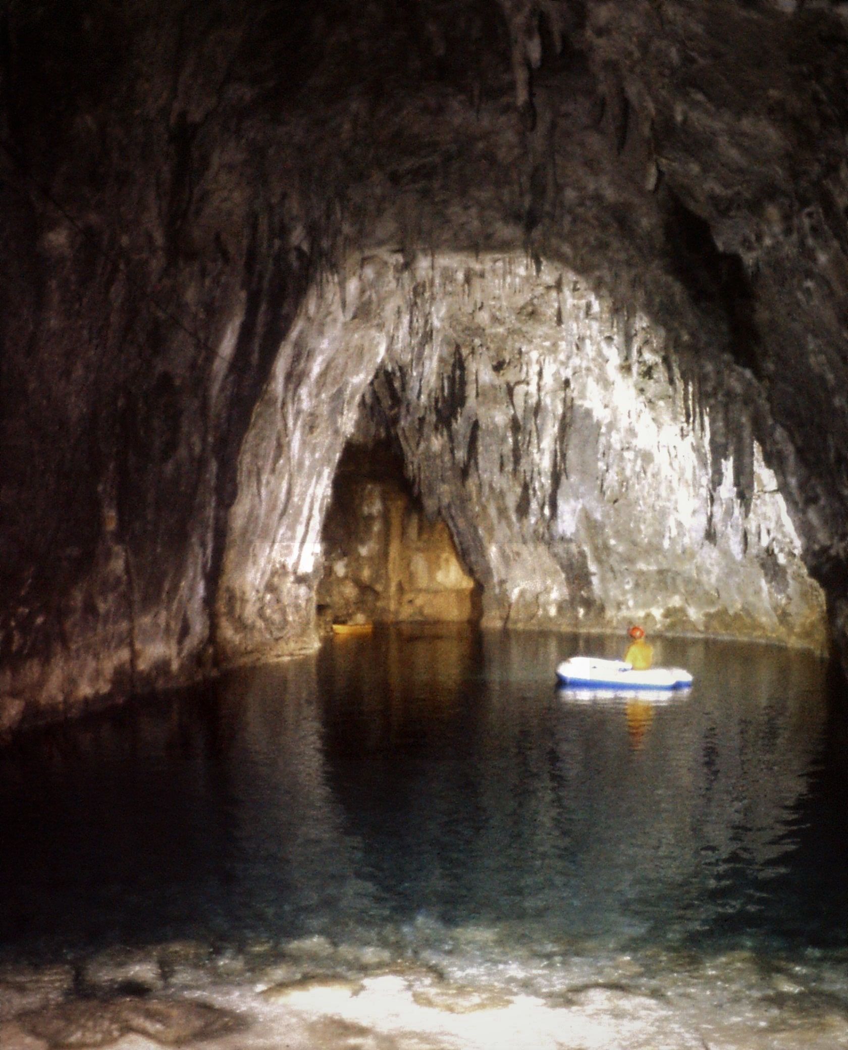
The Gournier Cave is located near Choranche in the Vercors Massif in southeastern France. The entrance is at an altitude of 572 m (1,877 ft) at the base of a cliff on the Presles plateau. It is one of the exsurgences (points at which an underground stream reaches the surface if the stream has no known surface headwaters) of the Coulmes massif, and the cave is considered by many speleologists to be the most beautiful underground river in the Alps.
- Category
- Local Legends
- Location
- Pont-en-Royans, France
- Coordinates
- 45.07664, 5.39510
- How to get there
- Google MapsApple MapsOpenStreetMap
- Wikidata
- Q30740661
What is Gournier Cave?
Gournier Cave is a Local Legends place on VeroMaps. Other places close by: Bournillon Cave, Favot cave, Silk throwing factory La Galicière in Chatte, Chapel of Saint-Jean-le-Fromental.
Where is Gournier Cave?
Gournier Cave is in Pont-en-Royans, France. Coordinates: 45.07664, 5.39510.
How do I get to Gournier Cave?
Gournier Cave is at Pont-en-Royans, France (45.07664, 5.39510). Enter these coordinates in Google Maps, Apple Maps or OpenStreetMap for walking, cycling or driving directions.