Urbex & Abandoned
Gliwice coal mine
Gliwice, Poland
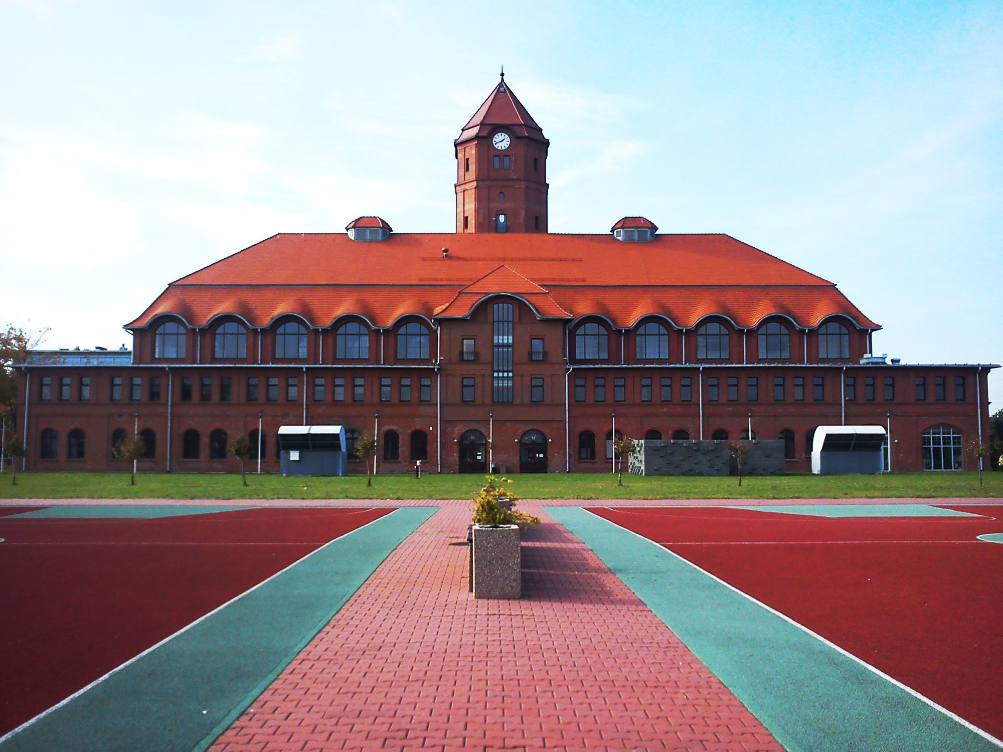
Das Steinkohlenbergwerk Gliwice (deutsche Bezeichnung bis 1945 Gleiwitzgrube, polnisch Kopalnia Węgla Kamiennego Gliwice) ist ein stillgelegtes Steinkohlen-Bergwerk im Ortsteil Trynek der Stadt Gliwice.
- Category
- Urbex & Abandoned
- Location
- Gliwice, Poland
- Coordinates
- 50.27722, 18.68306
- How to get there
- Google MapsApple MapsOpenStreetMap
- Wikidata
- Q203884
What is Gliwice coal mine?
Gliwice coal mine is a Urbex & Abandoned place on VeroMaps. Other places close by: Statue of John of Nepomuk in Gliwice, Graues Chemiegebäude, Gliwice Castle, Neptune Fountain in Gliwice.
Where is Gliwice coal mine?
Gliwice coal mine is in Gliwice, Poland. Coordinates: 50.27722, 18.68306.
How do I get to Gliwice coal mine?
Gliwice coal mine is at Gliwice, Poland (50.27722, 18.68306). Enter these coordinates in Google Maps, Apple Maps or OpenStreetMap for walking, cycling or driving directions.