Forgotten History
Geulle Castle
Netherlands
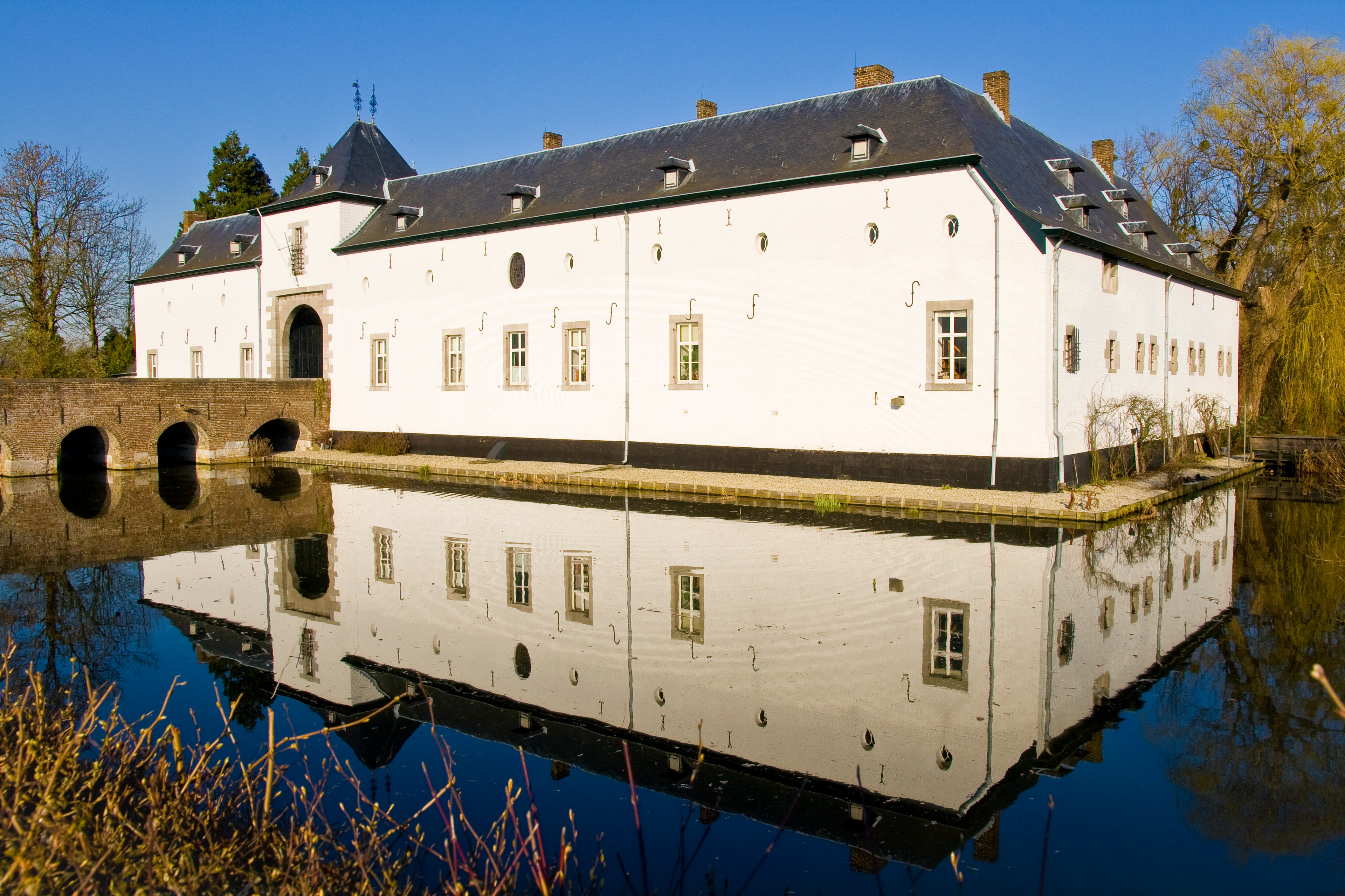
Geulle Castle is located in the village of Geulle of the same name, which is part of the Dutch-Limburg municipality of Meerssen. The current castle is a remnant of a 17th-century Renaissance castle that was demolished in 1847. The remaining outer bailey is a national monument. The Oude Broekgraaf flows past the castle.
- Category
- Forgotten History
- Location
- Netherlands
- Address
- Geulderlei 1
- Coordinates
- 50.92500, 5.74045
- How to get there
- Google MapsApple MapsOpenStreetMap
- Wikidata
- Q2028439
What is Geulle Castle?
Geulle Castle is a Forgotten History place on VeroMaps, on Geulderlei 1. Other places close by: Mariakapel, Sint-Antoniuskapel, Mariakapel, Heilig-Hartkapel.
Where is Geulle Castle?
Geulle Castle is in Netherlands. Coordinates: 50.92500, 5.74045.
How do I get to Geulle Castle?
Geulle Castle is at Geulderlei 1, Netherlands (50.92500, 5.74045). Enter these coordinates in Google Maps, Apple Maps or OpenStreetMap for walking, cycling or driving directions.